
Loading...
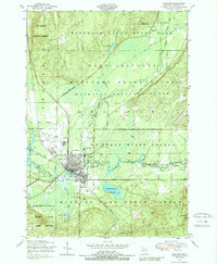
Loading map...1949 Map of Grayling
USGS Topo · Published 1955About this map
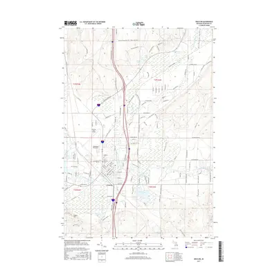
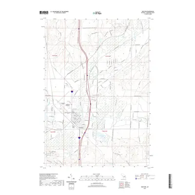
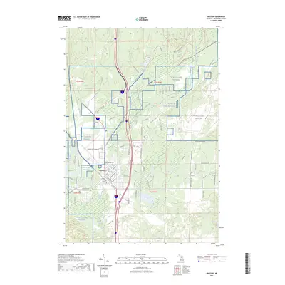
Camp Grayling Military Reservation dominates this 1949 landscape, highlighting the intersection of mid-century conservation and military training in northern Michigan. The Au Sable River and its south branch wind through massive tracts of public land, including the Huron National Forest and Hartwick Pines State Park. The town of Grayling serves as a hub for both industry and infrastructure, featuring the New York Central railroad, an Airfield, and the State Fish Hatchery.
Find a feature on this map
50 named features on this map. Tap any name to fly to it.
Don’t see what you’re looking for? This feature index may not catch every label — zoom into the map to look around manually.
Map Details
Date Portrayed1949
Date Published1955
PublisherU.S. Geological Survey
Map TypeTopographic
Scale1:62,500
Physical Dimensions17 x 20.9 inches
Editions of this 1949 Grayling Map
This is the sole edition of this map. No revisions or reprints were ever made.
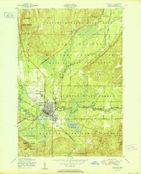
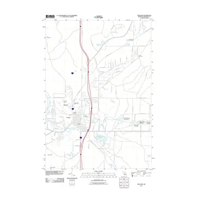
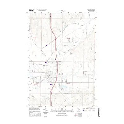
Historical Maps of Grayling Through Time
9 maps found

Featured Locations
- Frederic Township, MI
- Grayling, MI
- Higgins Township, MI
- Deerheart Valley, South Branch Township
- Roscommon, Higgins Township
Source Details
SourceU.S. Geological Survey
CopyrightPublic Domain