
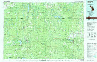
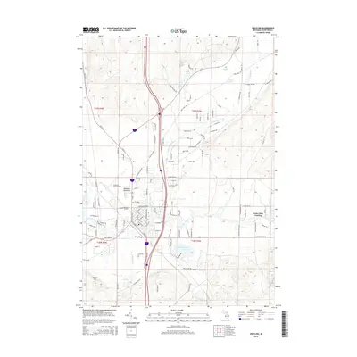
1983 Map of Grayling
USGS Topo · Published 1984About this map
The Au Sable River and its multiple branches define this expansive interior region of Northern Michigan in the early 1980s. Centered on the town of Grayling, the landscape is dominated by public lands and military training grounds, including the massive Camp Grayling Military Reservation and the Grayling Army Airfield. The map reveals a high concentration of recreational and ecological landmarks, such as Hartwick Pines State Park, known for its virgin pines, and the surrounding Mackinaw State Forest and Au Sable State Forest. Transportation networks include the Detroit and Mackinac RR and modern corridors like I-75. From the clear waters of Higgins Lake in the south to the small settlements of Johannesburg and Vienna Corners in the north, the map captures a period when the timber-and-transit economy had transitioned fully into one of conservation and seasonal tourism.
Find a feature on this map
125 named features on this map. Tap any name to fly to it.
Don’t see what you’re looking for? This feature index may not catch every label — zoom into the map to look around manually.
Map Details
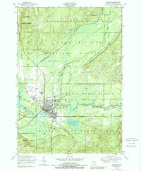
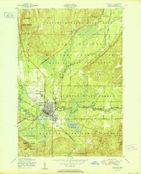
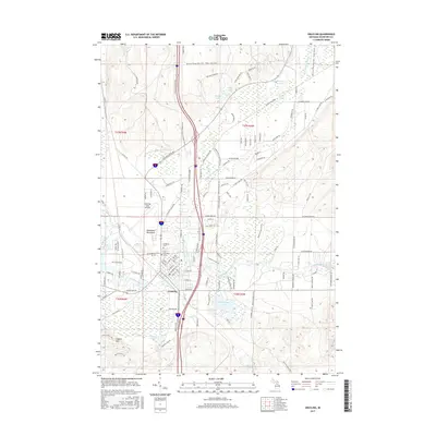
Editions of this 1983 Grayling Map
2 editions found
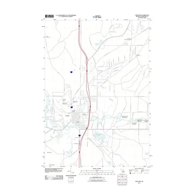
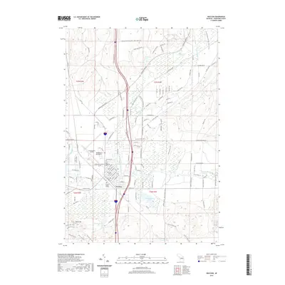
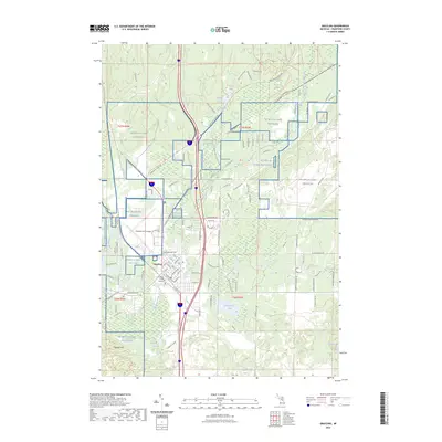
Historical Maps of Gaylord Through Time
9 maps found

Featured Locations
- Gaylord, MI
- Grayling, MI
- Frederic, Frederic Township
- Otsego Lake, Otsego Lake Township
- Mio, Mentor Township