Loading...
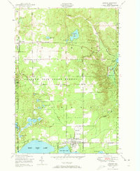
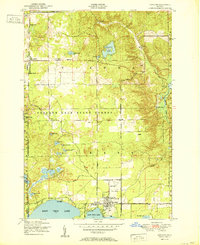
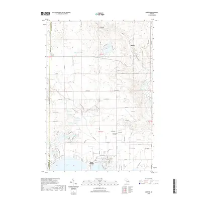
Loading map...1950 Map of Lewiston
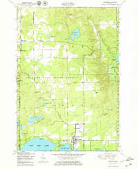
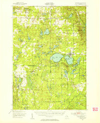
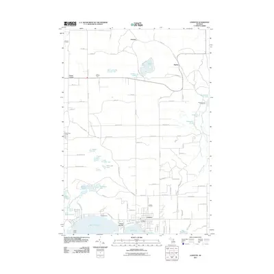
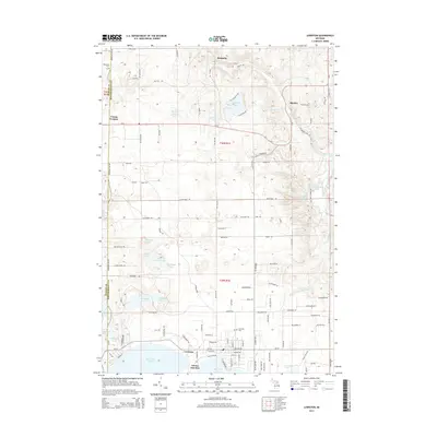
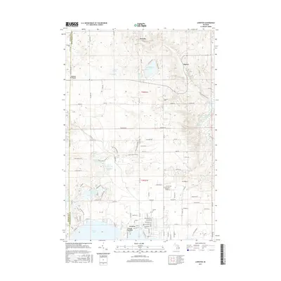
USGS Topo · Published 1973About this map
Lewiston serves as the hub of this 1950s northern Michigan landscape, where the waters of West Twin Lake and East Twin Lake meet the edge of the Presque Isle State Forest. The map documents a community deeply connected to its lakes and timber heritage, showing clusters of civic life at the Vienna Township Hall and Vienna Corners. Several spiritual and community anchors are noted, including the Lighthouse Tabernacle and First Congregational Community Church.
Find a feature on this map
50 named features on this map. Tap any name to fly to it.
Don’t see what you’re looking for? This feature index may not catch every label — zoom into the map to look around manually.
Map Details
Date Portrayed1950
Date Published1973
PublisherU.S. Geological Survey
Map TypeTopographic
Scale1:24,000
Physical Dimensions22 x 26.9 inches
Editions of this 1950 Lewiston Map
3 editions found
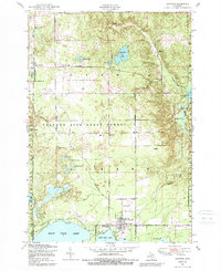
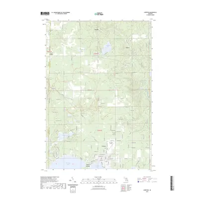
Historical Maps of Lewiston Through Time
8 maps found
Featured Locations
- Briley Township, MI
- Vienna Township, MI
- Charlton Township, MI
- Lewiston, Albert Township
- Vienna Junction, Albert Township
Source Details
SourceU.S. Geological Survey
CopyrightPublic Domain