
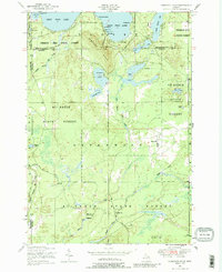
1950 Map of Comstock Hills
USGS Topo · Published 1973About this map
The Au Sable State Forest and Presque Isle State Forest dominate this mid-century landscape, where the sandy highlands of the northern lower peninsula meet a dense network of glacial lakes. In 1950, the area around East Twin Lake and West Twin Lake was a growing hub of seasonal recreation, evidenced by the cluster of lakeside destinations such as Birchwood Beach, Trowbridges Resort, and Birdhaven Resort. These developments represent the post-war boom in Michigan's motor-tourist economy, reachable by the developing County Road 612.
Find a feature on this map
47 named features on this map. Tap any name to fly to it.
Don’t see what you’re looking for? This feature index may not catch every label — zoom into the map to look around manually.
Map Details
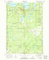
Editions of this 1950 Comstock Hills Map
3 editions found
Other maps of this area

1949 · Lewiston
USGS Topo · 1:62,500

1950 · Lewiston
USGS Topo · 1:24,000

1950 · Johannesburg
USGS Topo · 1:24,000

1950 · Lovells
USGS Topo · 1:24,000

1951 · Comstock Hills
USGS Topo · 1:24,000

1951 · Lovells
USGS Topo · 1:24,000

1951 · Johannesburg
USGS Topo · 1:24,000

1951 · Lewiston
USGS Topo · 1:24,000

1954 · Traverse City
USGS Topo · 1:250,000

1955 · Comins
USGS Topo · 1:62,500