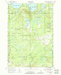
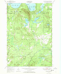
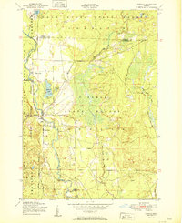
1950 Map of Comstock Hills
USGS Topo · Published 1988About this map
Comstock Hills rise between the water-rich landscapes of the Presque Isle State Forest and Au Sable State Forest, reflecting a mid-century era of recreational development in Northern Michigan. The northern reaches of the map are defined by the shores of West Twin Lake and East Twin Lake, where seasonal life centered around clusters like Birchwood Beach, Trowbridges Resort, and Gassel Lodge. These labels indicate a post-war shift toward tourism and timber management, supported by infrastructure like the Comstock Fire Tower and the small Johnsons Airport. To the south, the terrain follows the winding course of Big Creek and Wright Creek, where more isolated outposts like the Cowhand Ranch and the Homestead Hunting Club punctuate the forest. This 1950 field-checked survey preserves the layout of youth camps and social hubs, including the Indian Village Boys Camp and Werners Hotel, before more modern rural consolidation changed the character of these wooded townships.
Find a feature on this map
49 named features on this map. Tap any name to fly to it.
Don’t see what you’re looking for? This feature index may not catch every label — zoom into the map to look around manually.
Map Details
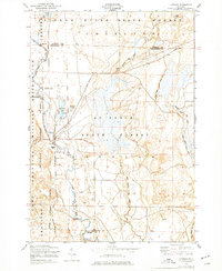
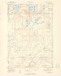
Editions of this 1950 Comstock Hills Map
3 editions found
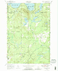
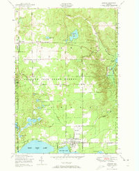
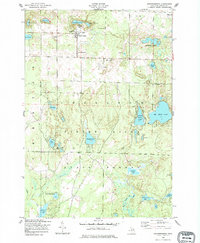
Other maps of this area
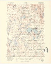
1949 · Lewiston
USGS Topo · 1:62,500
1950 · Lewiston
USGS Topo · 1:24,000
1950 · Comstock Hills
USGS Topo · 1:24,000
1950 · Johannesburg
USGS Topo · 1:24,000
1950 · Lovells
USGS Topo · 1:24,000
1951 · Comstock Hills
USGS Topo · 1:24,000
1951 · Lovells
USGS Topo · 1:24,000
1951 · Johannesburg
USGS Topo · 1:24,000

1951 · Lewiston
USGS Topo · 1:24,000

1954 · Traverse City
USGS Topo · 1:250,000
Featured Places
- Lovells Township, MI
- Charlton Township, MI
- Garland Village, Albert Township
- Elmer Township, MI
- Birchwood Beach, Albert Township