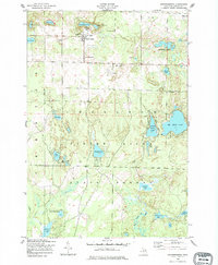
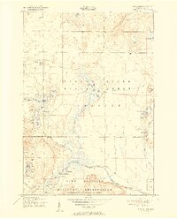
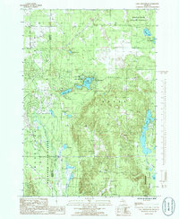
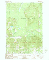
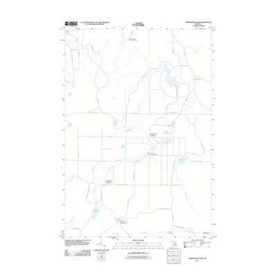
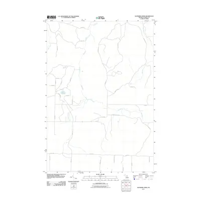
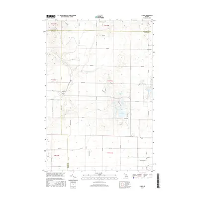
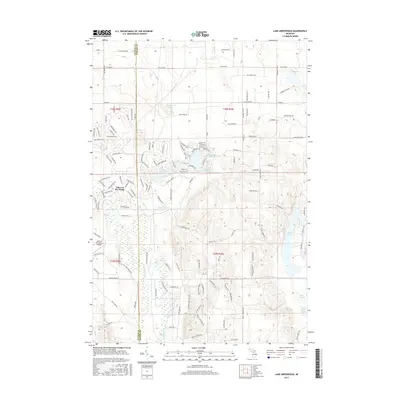
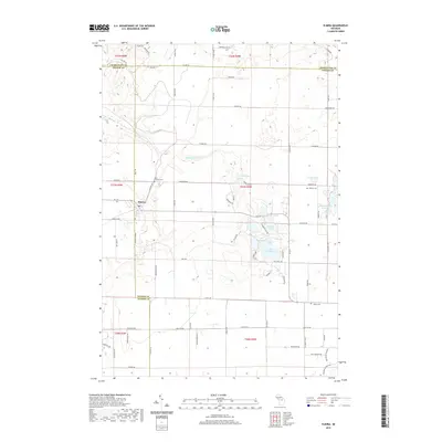
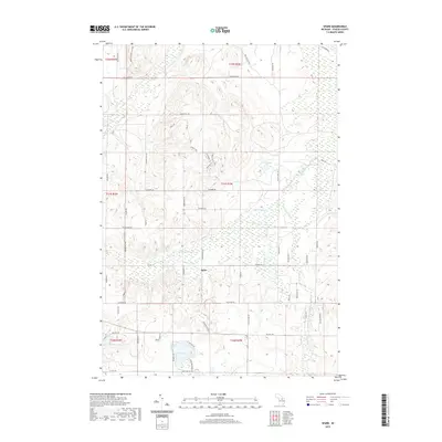
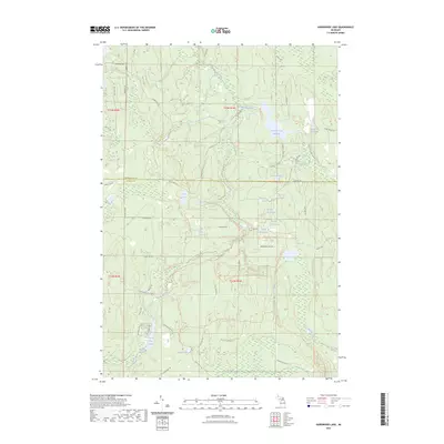
1950 Map of Johannesburg
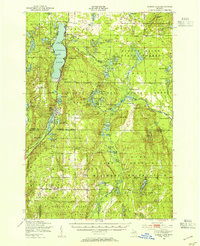
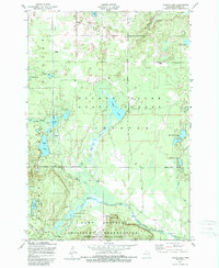
USGS Topo · Published 1977About this map
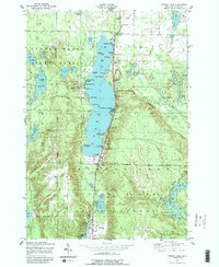
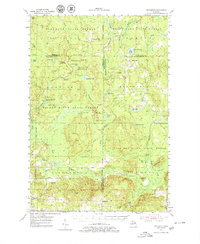
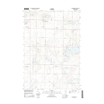
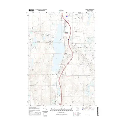
Johannesburg serves as the focal point for this northern Michigan survey, situated within the varied terrain of the Pigeon River State Forest. The settlement features community landmarks like the Full Gospel Church and the Charlton Town Hall and Church, alongside the Johannesburg Cemetery. The landscape is defined by a high density of glacial kettle lakes, including the sprawling Big Bear Lake and Little Bear Lake to the east, and the cluster of Traverse Lakes to the north.
Find a feature on this map
43 named features on this map. Tap any name to fly to it.
Don’t see what you’re looking for? This feature index may not catch every label — zoom into the map to look around manually.
Map Details
Editions of this 1950 Johannesburg Map
This is the sole edition of this map. No revisions or reprints were ever made.
Historical Maps of Johannesburg Through Time
59 maps found
1949 Otsego Lake
Otsego County, MI
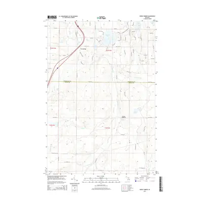
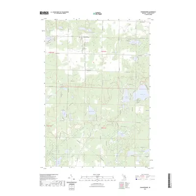
1950 Johannesburg
Otsego County, MI
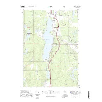
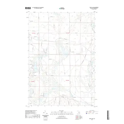
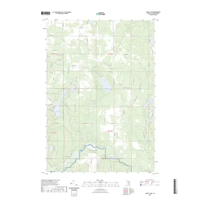
1950 Turtle Lake
Otsego County, MI
1951 Johannesburg
Otsego County, MI
1951 Otsego Lake
Otsego County, MI
1951 Turtle Lake
Otsego County, MI
1954 Hetherton
Otsego County, MI
1975 Gaylord SW
Otsego County, MI
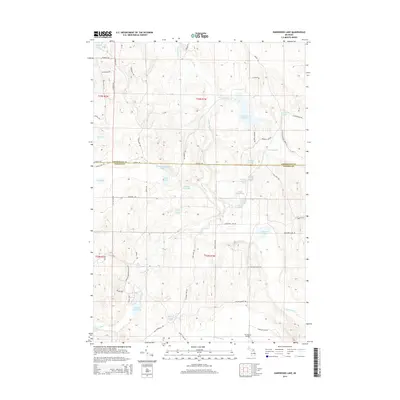
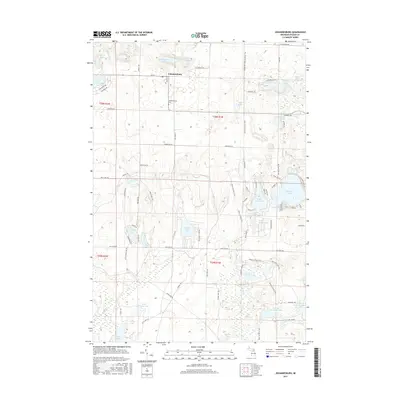
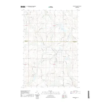
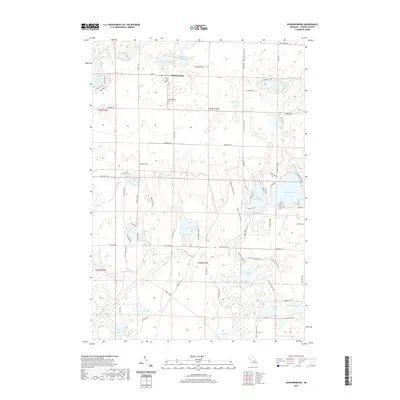
1985 Lake Arrowhead
Otsego County, MI
1986 Elmira
Otsego County, MI
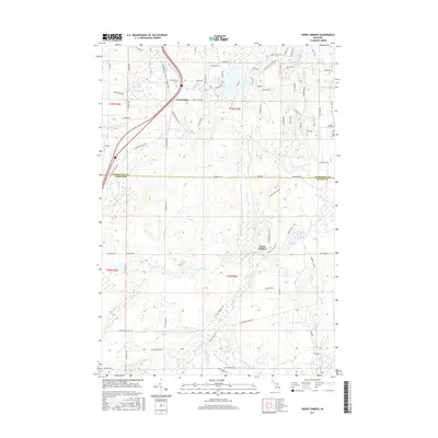
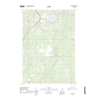
1986 Green Timbers
Otsego County, MI
1986 Hardwood Lake
Otsego County, MI
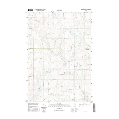
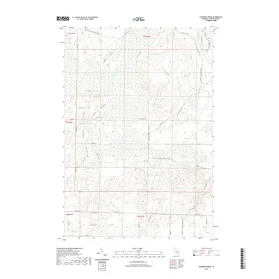
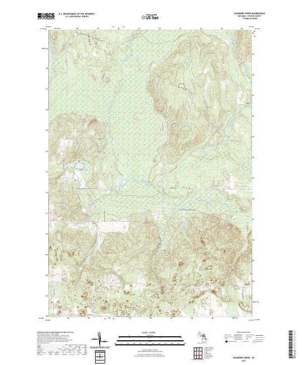
1986 Saunders Creek
Otsego County, MI
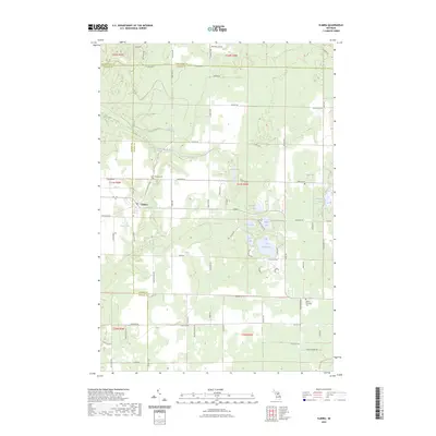
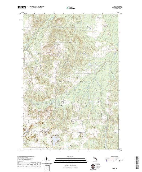
1986 Sparr
Otsego County, MI
2011 Elmira
Otsego County, MI
2011 Green Timbers
Otsego County, MI
2011 Hardwood Lake
Otsego County, MI
2011 Johannesburg
Otsego County, MI
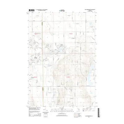
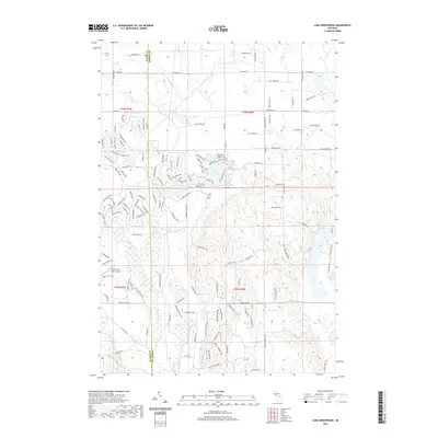
2011 Lake Arrowhead
Otsego County, MI
2011 Otsego Lake
Otsego County, MI
2011 Saunders Creek
Otsego County, MI
2011 Sparr
Otsego County, MI
2011 Turtle Lake
Otsego County, MI
2014 Elmira
Otsego County, MI
2014 Green Timbers
Otsego County, MI
2014 Hardwood Lake
Otsego County, MI
2014 Johannesburg
Otsego County, MI
2014 Lake Arrowhead
Otsego County, MI
2014 Otsego Lake
Otsego County, MI
2014 Saunders Creek
Otsego County, MI
2014 Sparr
Otsego County, MI
2014 Turtle Lake
Otsego County, MI
2017 Elmira
Otsego County, MI
2017 Green Timbers
Otsego County, MI
2017 Hardwood Lake
Otsego County, MI
2017 Johannesburg
Otsego County, MI
2017 Lake Arrowhead
Otsego County, MI
2017 Otsego Lake
Otsego County, MI
2017 Saunders Creek
Otsego County, MI
2017 Sparr
Otsego County, MI
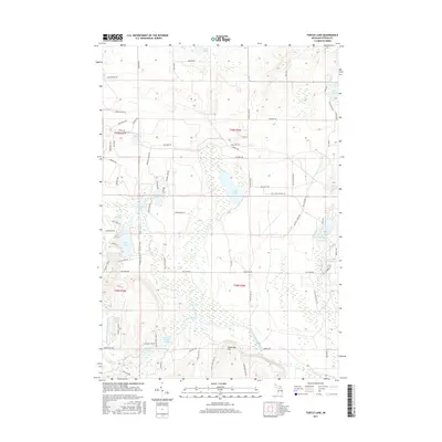
2017 Turtle Lake
Otsego County, MI
2019 Elmira
Otsego County, MI
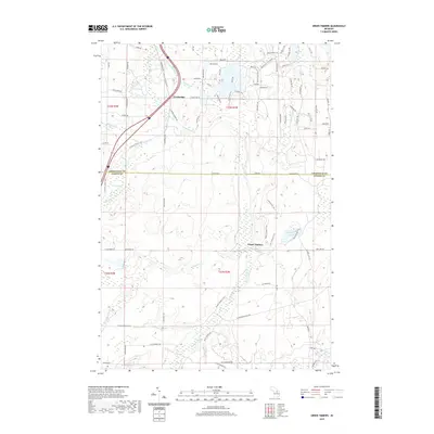
2019 Green Timbers
Otsego County, MI
2019 Hardwood Lake
Otsego County, MI
2019 Johannesburg
Otsego County, MI
2019 Lake Arrowhead
Otsego County, MI
2019 Otsego Lake
Otsego County, MI
2019 Saunders Creek
Otsego County, MI
2019 Sparr
Otsego County, MI
2019 Turtle Lake
Otsego County, MI
2023 Elmira
Otsego County, MI
2023 Green Timbers
Otsego County, MI
2023 Hardwood Lake
Otsego County, MI
2023 Johannesburg
Otsego County, MI
2023 Lake Arrowhead
Otsego County, MI
2023 Otsego Lake
Otsego County, MI
2023 Saunders Creek
Otsego County, MI
2023 Sparr
Otsego County, MI
2023 Turtle Lake
Otsego County, MI
Featured Locations
- United States
- Otsego County, MI
- Charlton Township, MI
- Chester Township, MI
- Johannesburg, Charlton Township