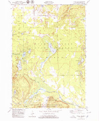
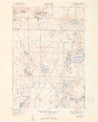
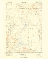
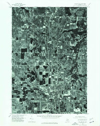
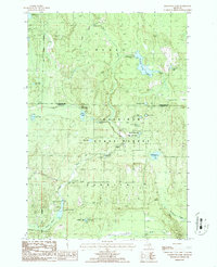
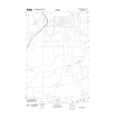
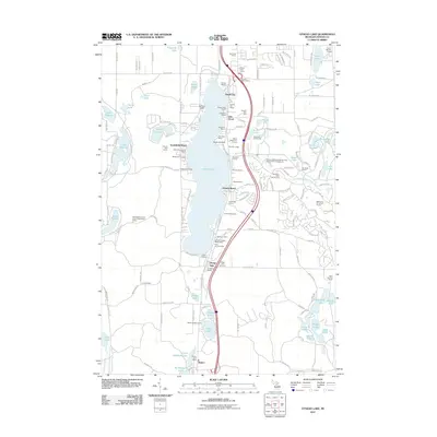
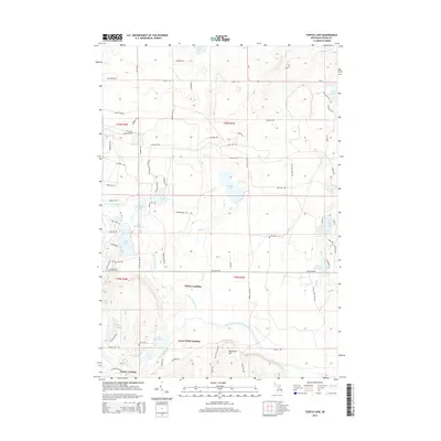
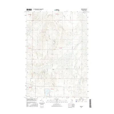
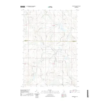
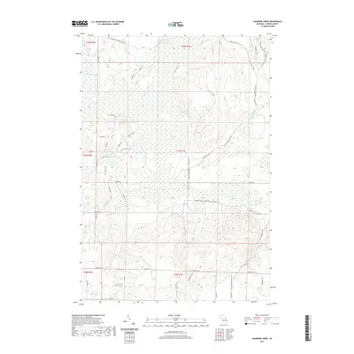
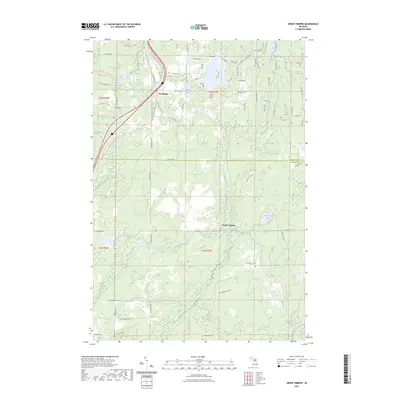
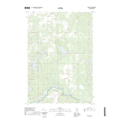
1950 Map of Turtle Lake
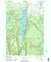
USGS Topo · Published 1979About this map
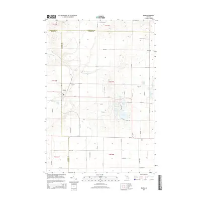
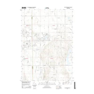
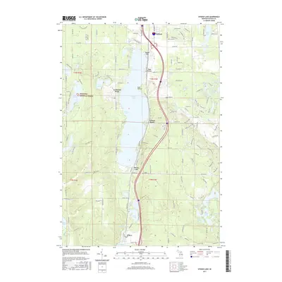
Pigeon River State Forest covers a significant portion of this northern Michigan landscape, characterized by numerous glacial lakes and the winding paths of the North Branch Au Sable River. The map captures a mid-century moment where recreation and conservation intersect with military activity. To the south, the Camp Grayling Military Reservation boundary is clearly delineated, marking a substantial land use commitment for training purposes.
Find a feature on this map
39 named features on this map. Tap any name to fly to it.
Don’t see what you’re looking for? This feature index may not catch every label — zoom into the map to look around manually.
Map Details
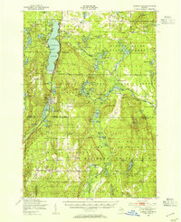
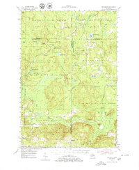
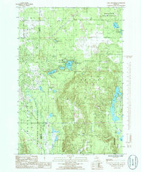
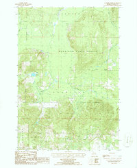
Editions of this 1950 Turtle Lake Map
2 editions found
Historical Maps of Whites Landing Through Time
59 maps found
1949 Otsego Lake
Otsego County, MI
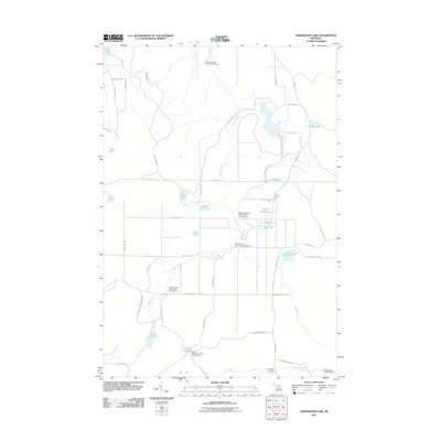
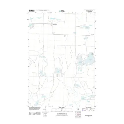
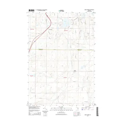
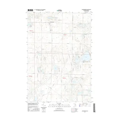
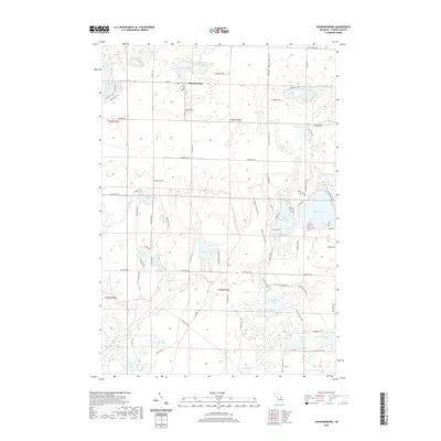
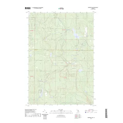
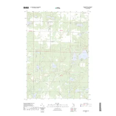
1950 Johannesburg
Otsego County, MI
1950 Turtle Lake
Otsego County, MI
1951 Johannesburg
Otsego County, MI
1951 Otsego Lake
Otsego County, MI
1951 Turtle Lake
Otsego County, MI
1954 Hetherton
Otsego County, MI
1975 Gaylord SW
Otsego County, MI
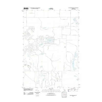
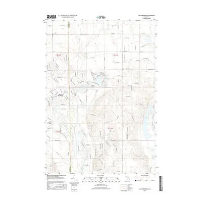
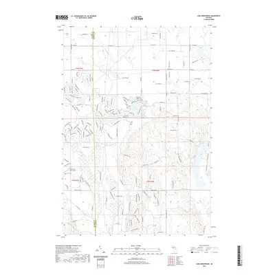
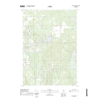
1985 Lake Arrowhead
Otsego County, MI
1986 Elmira
Otsego County, MI
1986 Green Timbers
Otsego County, MI
1986 Hardwood Lake
Otsego County, MI
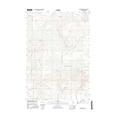
1986 Saunders Creek
Otsego County, MI
1986 Sparr
Otsego County, MI
2011 Elmira
Otsego County, MI
2011 Green Timbers
Otsego County, MI
2011 Hardwood Lake
Otsego County, MI
2011 Johannesburg
Otsego County, MI
2011 Lake Arrowhead
Otsego County, MI
2011 Otsego Lake
Otsego County, MI
2011 Saunders Creek
Otsego County, MI
2011 Sparr
Otsego County, MI
2011 Turtle Lake
Otsego County, MI
2014 Elmira
Otsego County, MI
2014 Green Timbers
Otsego County, MI
2014 Hardwood Lake
Otsego County, MI
2014 Johannesburg
Otsego County, MI
2014 Lake Arrowhead
Otsego County, MI
2014 Otsego Lake
Otsego County, MI
2014 Saunders Creek
Otsego County, MI
2014 Sparr
Otsego County, MI
2014 Turtle Lake
Otsego County, MI
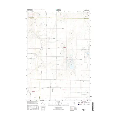
2017 Elmira
Otsego County, MI
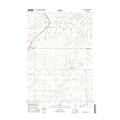
2017 Green Timbers
Otsego County, MI
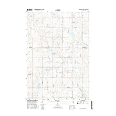
2017 Hardwood Lake
Otsego County, MI
2017 Johannesburg
Otsego County, MI
2017 Lake Arrowhead
Otsego County, MI
2017 Otsego Lake
Otsego County, MI
2017 Saunders Creek
Otsego County, MI
2017 Sparr
Otsego County, MI
2017 Turtle Lake
Otsego County, MI
2019 Elmira
Otsego County, MI
2019 Green Timbers
Otsego County, MI
2019 Hardwood Lake
Otsego County, MI
2019 Johannesburg
Otsego County, MI
2019 Lake Arrowhead
Otsego County, MI
2019 Otsego Lake
Otsego County, MI
2019 Saunders Creek
Otsego County, MI
2019 Sparr
Otsego County, MI
2019 Turtle Lake
Otsego County, MI
2023 Elmira
Otsego County, MI
2023 Green Timbers
Otsego County, MI
2023 Hardwood Lake
Otsego County, MI
2023 Johannesburg
Otsego County, MI
2023 Lake Arrowhead
Otsego County, MI
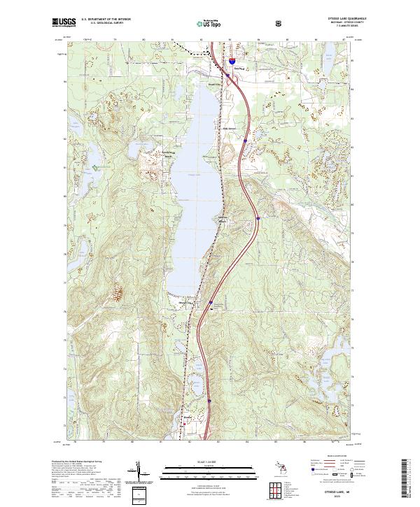
2023 Otsego Lake
Otsego County, MI
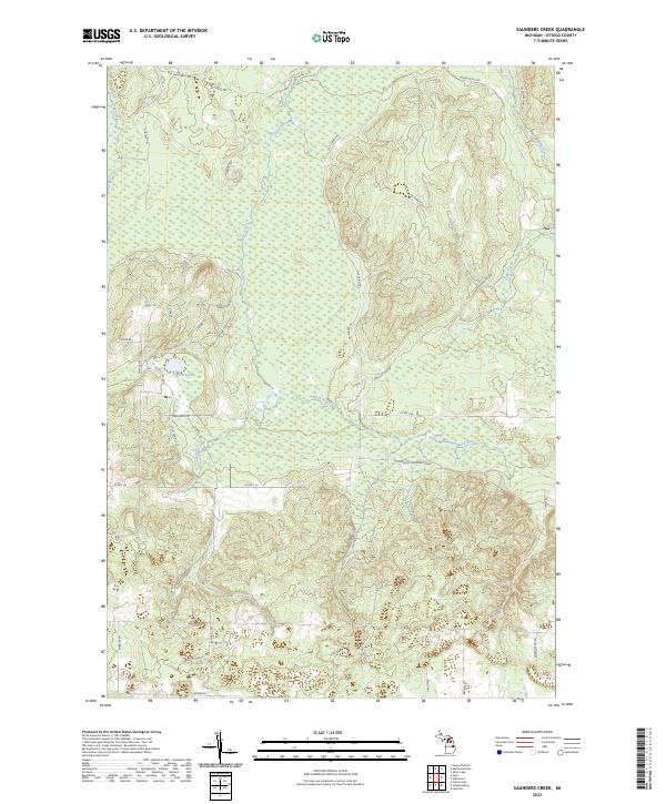
2023 Saunders Creek
Otsego County, MI
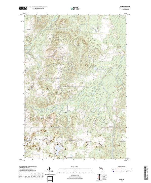
2023 Sparr
Otsego County, MI
2023 Turtle Lake
Otsego County, MI
Featured Locations
- Bagley Township, MI
- Chester Township, MI
- Farrar Landing, Chester Township
- Lower Chub Landing, Chester Township
- Whites Landing, Chester Township