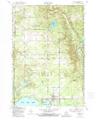
1950 Map of Lewiston
USGS Topo · Published 1989About this map
Lewiston serves as the primary hub for this portion of the northern Lower Peninsula, situated between East Twin Lake and West Twin Lake. The map illustrates a landscape shaped by timber and early 20th-century settlement, where the Michigan Principal Meridian forms a clear dividing line between Otsego and Montmorency counties. To the north, the Presque Isle State Forest dominates the terrain, dotted with numerous glacial features like Spectacle Lakes and Gaylanta Lake. Local civic life is recorded through features like the Vienna Township Hall at Vienna Corners and the Albert Township School. Aviation landmarks such as Briley Airfield and the Lewiston Airport indicate the area's mid-century accessibility for residents and visitors to the surrounding camps and lodges.
Find a feature on this map
48 named features on this map. Tap any name to fly to it.
Don’t see what you’re looking for? This feature index may not catch every label — zoom into the map to look around manually.
Map Details
Editions of this 1950 Lewiston Map
3 editions found
Other maps of this area

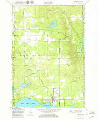
1949 · Lewiston
USGS Topo · 1:62,500

1950 · Lewiston
USGS Topo · 1:24,000

1950 · Comstock Hills
USGS Topo · 1:24,000

1950 · Johannesburg
USGS Topo · 1:24,000

1950 · Lovells
USGS Topo · 1:24,000

1951 · Comstock Hills
USGS Topo · 1:24,000

1951 · Lovells
USGS Topo · 1:24,000

1951 · Johannesburg
USGS Topo · 1:24,000

1951 · Lewiston
USGS Topo · 1:24,000

1954 · Hetherton
USGS Topo · 1:62,500