
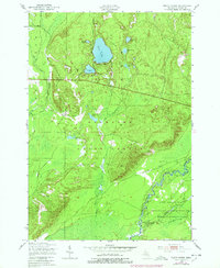
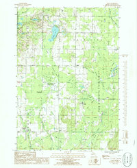
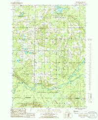
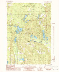
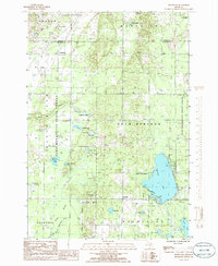
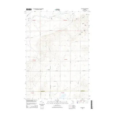
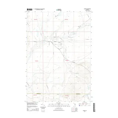
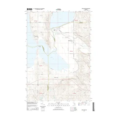
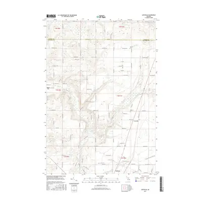
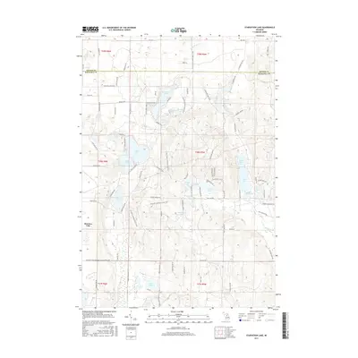
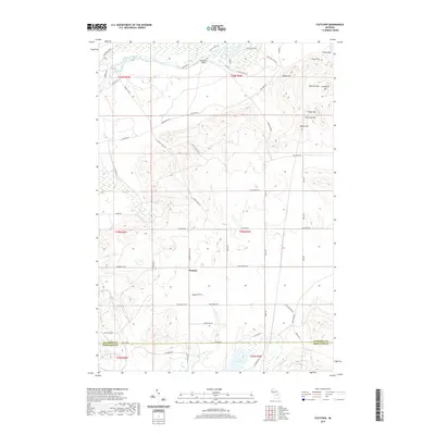
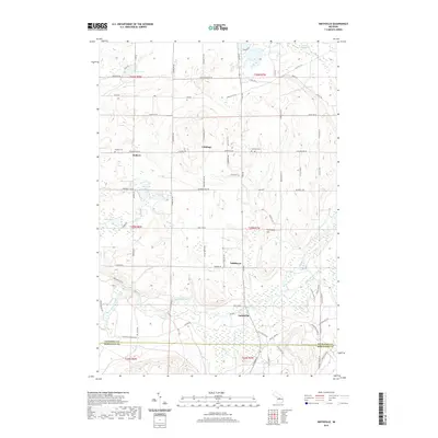
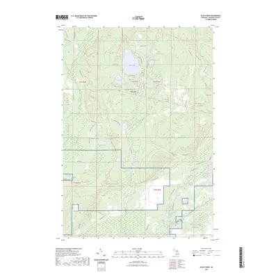
1949 Map of Fletcher
USGS Topo · Published 1955About this map
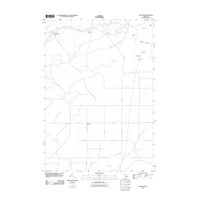
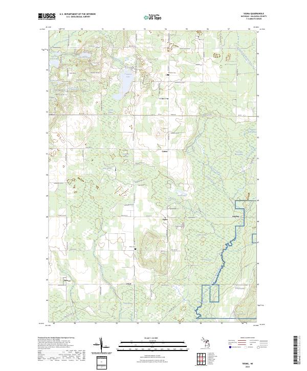
The Manistee River and Au Sable River headwaters dominate this landscape at the junction of Kalkaska and Crawford counties. The terrain is characterized by extensive state forest lands and the expanding footprint of the Camp Grayling Military Reservation, which includes numerous named tactical features like Vosges Ridge, Argonne Hill, and the Three Sisters Range. These military designations reflect the post-war importance of the area for the Michigan National Guard.
Find a feature on this map
79 named features on this map. Tap any name to fly to it.
Don’t see what you’re looking for? This feature index may not catch every label — zoom into the map to look around manually.
Map Details
Editions of this 1949 Fletcher Map
This is the sole edition of this map. No revisions or reprints were ever made.
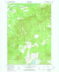
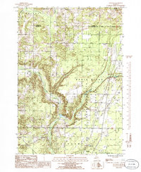
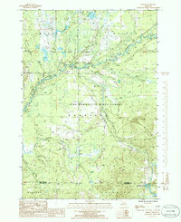
Historical Maps of Frederic Township Through Time
55 maps found
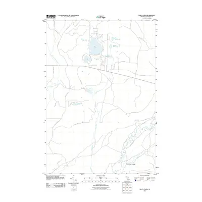
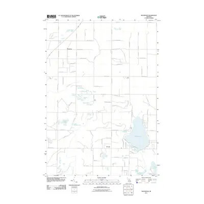
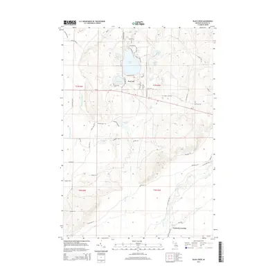
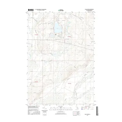
1949 Black Creek
Kalkaska County, MI
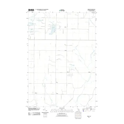
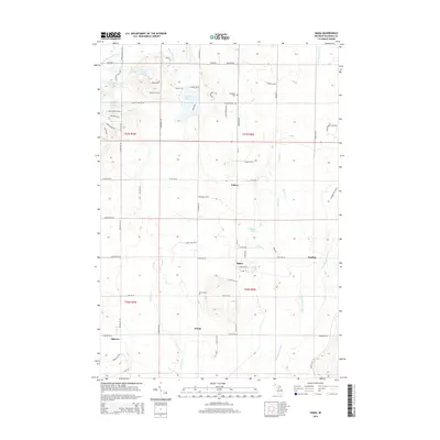
1949 Fletcher
Kalkaska County, MI
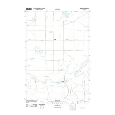
1950 Fletcher
Kalkaska County, MI

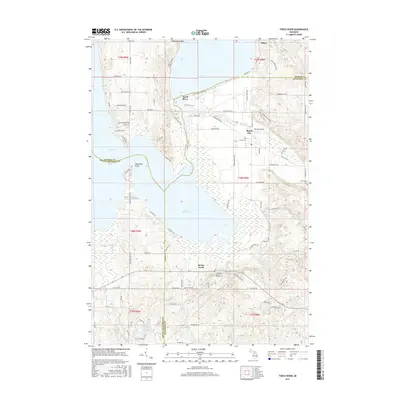
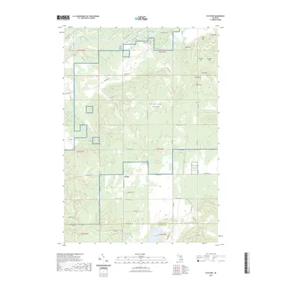
1983 Torch River
Kalkaska County, MI
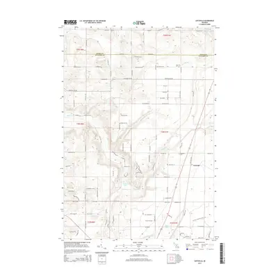
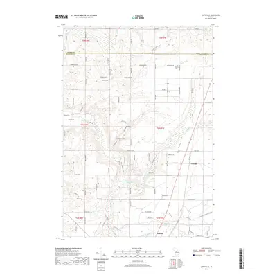
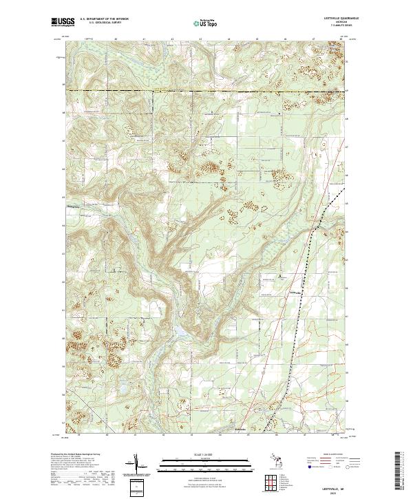
1985 Leetsville
Kalkaska County, MI
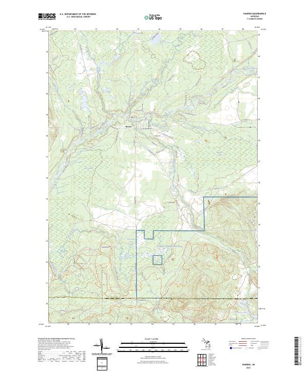
1985 Sharon
Kalkaska County, MI
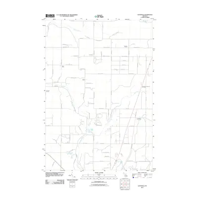
1985 Sigma
Kalkaska County, MI
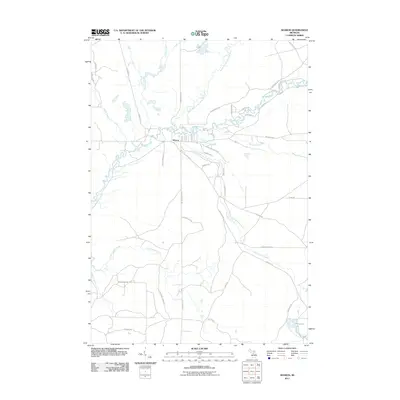
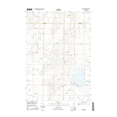
1985 Smithville
Kalkaska County, MI
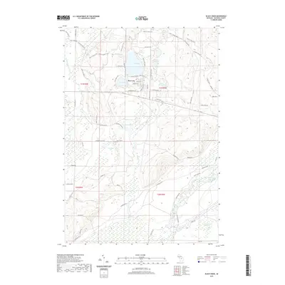
1985 Starvation Lake
Kalkaska County, MI
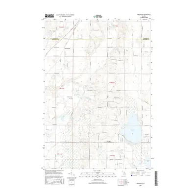
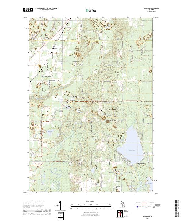
1985 Westwood
Kalkaska County, MI
2011 Black Creek
Kalkaska County, MI
2011 Fletcher
Kalkaska County, MI
2011 Leetsville
Kalkaska County, MI
2011 Sharon
Kalkaska County, MI
2011 Sigma
Kalkaska County, MI
2011 Smithville
Kalkaska County, MI
2011 Starvation Lake
Kalkaska County, MI
2011 Torch River
Kalkaska County, MI
2011 Westwood
Kalkaska County, MI
2014 Black Creek
Kalkaska County, MI
2014 Fletcher
Kalkaska County, MI
2014 Leetsville
Kalkaska County, MI
2014 Sharon
Kalkaska County, MI
2014 Sigma
Kalkaska County, MI
2014 Smithville
Kalkaska County, MI
2014 Starvation Lake
Kalkaska County, MI
2014 Torch River
Kalkaska County, MI
2014 Westwood
Kalkaska County, MI
2017 Black Creek
Kalkaska County, MI
2017 Fletcher
Kalkaska County, MI
2017 Leetsville
Kalkaska County, MI
2017 Sharon
Kalkaska County, MI
2017 Sigma
Kalkaska County, MI
2017 Smithville
Kalkaska County, MI
2017 Starvation Lake
Kalkaska County, MI
2017 Torch River
Kalkaska County, MI
2017 Westwood
Kalkaska County, MI
2019 Black Creek
Kalkaska County, MI
2019 Fletcher
Kalkaska County, MI
2019 Leetsville
Kalkaska County, MI
2019 Sharon
Kalkaska County, MI
2019 Sigma
Kalkaska County, MI
2019 Smithville
Kalkaska County, MI
2019 Starvation Lake
Kalkaska County, MI
2019 Torch River
Kalkaska County, MI
2019 Westwood
Kalkaska County, MI
2023 Black Creek
Kalkaska County, MI
2023 Fletcher
Kalkaska County, MI
2023 Leetsville
Kalkaska County, MI
2023 Sharon
Kalkaska County, MI
2023 Sigma
Kalkaska County, MI
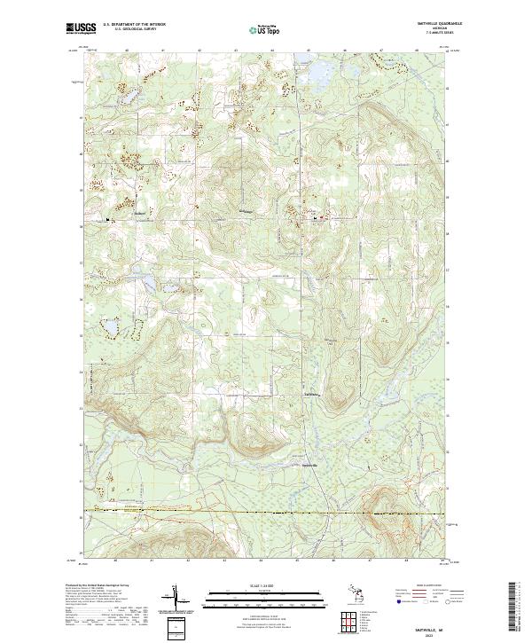
2023 Smithville
Kalkaska County, MI
2023 Starvation Lake
Kalkaska County, MI
2023 Torch River
Kalkaska County, MI
2023 Westwood
Kalkaska County, MI
Featured Locations
- Beaver Creek Township, MI
- Frederic Township, MI
- Excelsior Township, MI
- Norwich Township, MI
- Collens Landing, Grayling Charter Township