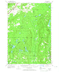
1956 Map of Alba
USGS Topo · Published 1965About this map
Alba serves as a primary rail and transit hub in the northwestern corner of this survey, where the Pennsylvania Railroad bisects the Alba Township line near the Alba Cemetery. The landscape transitions from these early settled clearings into the dense timberlands of the Pigeon River State Forest. This mid-century view captures the region's heavy reliance on its water systems, with the Manistee River and Pigeon River winding through townships like Blue Lake and Au Sable.
Find a feature on this map
77 named features on this map. Tap any name to fly to it.
Don’t see what you’re looking for? This feature index may not catch every label — zoom into the map to look around manually.
Map Details
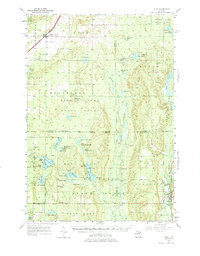
Editions of this 1956 Alba Map
3 editions found

Other maps of this area

1949 · Black Creek
USGS Topo · 1:24,000

1949 · Otsego Lake
USGS Topo · 1:62,500

1949 · Fletcher
USGS Topo · 1:62,500

1949 · Grayling
USGS Topo · 1:62,500

1950 · Lake Margrethe
USGS Topo · 1:24,000

1950 · Grayling
USGS Topo · 1:24,000

1951 · Big Bradford Lake
USGS Topo · 1:24,000

1951 · Grayling
USGS Topo · 1:24,000

1951 · Otsego Lake
USGS Topo · 1:24,000

1954 · Gaylord
USGS Topo · 1:62,500