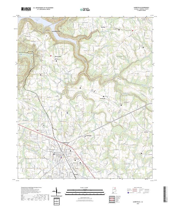
2024 Map of Albertville
USGS Topo · Published 2024About this map
Sand Mountain dominates the landscape of this Marshall County survey, where the plateau terrain meets the intricate shorelines of Guntersville Lake to the northwest. The city of Albertville serves as the regional anchor, centered around the Marshall County Courthouse Albertville Branch and a dense network of residential streets and civic sites like the Old Albertville Cem. Southward, the industrial and residential character of Saratoga marks the city's expansion along the Turkey Creek corridor.
Find a feature on this map
115 named features on this map. Tap any name to fly to it.
Don’t see what you’re looking for? This feature index may not catch every label — zoom into the map to look around manually.
Map Details
Editions of this 2024 Albertville Map
This is the sole edition of this map. No revisions or reprints were ever made.
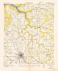
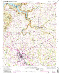
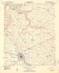
Historical Maps of McVille Through Time
4 maps found