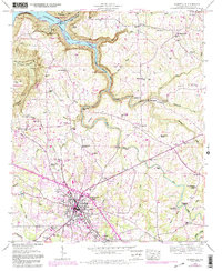
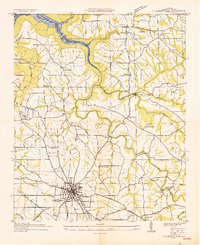
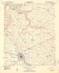
1947 Map of Albertville
USGS Topo · Published 1983About this map
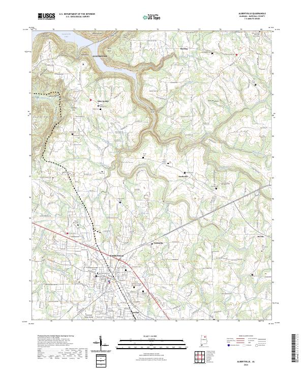
Guntersville Lake and the northern reaches of the Seaboard railroad corridor dominate this landscape at the edge of the Tennessee River valley. The terrain transitions from the inundated flats of the Lake Guntersville State Park to the elevated ridges of Pea Ridge and Elenburg Mtn. The city of Albertville serves as the primary hub, surrounded by smaller agrarian settlements like Martling and Alder Springs. This 1940s topography reflects a period when the local economy moved along the rails and around early industrial sites like the Rice Mill Bridge on Short Creek. The map provides a detailed view of the social infrastructure of the time, documenting a high density of country churches and schools, such as the Asbury School and New Thrasher Chapel, which once anchored these rural communities.
Find a feature on this map
53 named features on this map. Tap any name to fly to it.
Don’t see what you’re looking for? This feature index may not catch every label — zoom into the map to look around manually.
Map Details
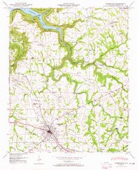
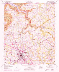
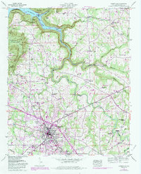
Editions of this 1947 Albertville Map
4 editions found
Historical Maps of Albertville Through Time
9 maps found
1936 Albertville
Marshall County, AL
1947 Albertville
Marshall County, AL
1950 Albertville
Marshall County, AL
2011 Albertville
Marshall County, AL
2014 Albertville
Marshall County, AL
2018 Albertville
Marshall County, AL
2020 Albertville
Marshall County, AL
2024 Albertville
Marshall County, AL
2026 Albertville
Marshall County, AL