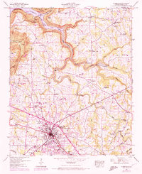
1947 Map of Albertville
USGS Topo · Published 1972About this map
The growing city of Albertville anchors this mid-century portrait of Marshall County, showing a transition from the agricultural plateaus of Pea Ridge to the impounded waters of the Tennessee Valley. To the north, the landscape is defined by the expanse of Guntersville Lake and the protected lands of Guntersville State Park, where Short Creek Bluff rises sharply above the water. A dense network of rural infrastructure is visible, including the Rice Mill Bridge and Duckett Bridge spanning the local creeks.
Find a feature on this map
61 named features on this map. Tap any name to fly to it.
Don’t see what you’re looking for? This feature index may not catch every label — zoom into the map to look around manually.
Map Details
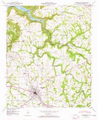
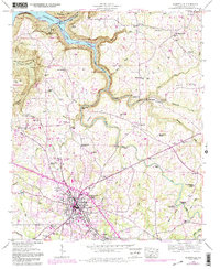
Editions of this 1947 Albertville Map
4 editions found

Other maps of this area

1885 · Gadsden
USGS Topo · 1:125,000

1888 · Gadsden
USGS Topo · 1:125,000

1892 · Gadsden
USGS Topo · 1:125,000

1895 · Gadsden
USGS Topo · 1:125,000

1903 · Gadsden
USGS Topo · 1:125,000

1936 · Painter
USGS Topo · 1:24,000

1936 · Guntersville
USGS Topo · 1:24,000

1936 · Mountainboro
USGS Topo · 1:24,000

1936 · Columbus City
USGS Topo · 1:24,000

1936 · Rodentown
USGS Topo · 1:24,000