
1947 Map of Albertville
USGS Topo · Published 1983About this map
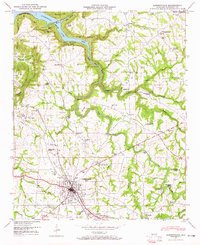
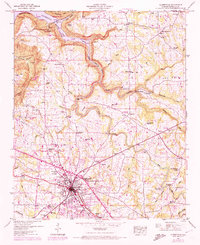
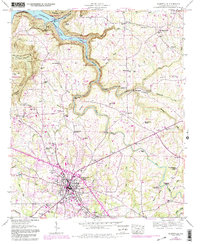
Albertville sits at the intersection of industry and rural landscape in this mid-century topographic record. The corporate boundary of the town encompasses a growing grid of streets, a sewage disposal plant, and a filtration plant, while the Seaboard rail line provides a vital transport link through the center of the community. Beyond the municipal limits, the terrain shifts toward the dramatic Short Creek Bluff and the waters of Lake Guntersville. The map reveals a high density of rural institutions, including the Asbury School and numerous small congregations such as Antioch Ch and Ephesus Ch.
Find a feature on this map
64 named features on this map. Tap any name to fly to it.
Don’t see what you’re looking for? This feature index may not catch every label — zoom into the map to look around manually.
Map Details
Editions of this 1947 Albertville Map
4 editions found
Other maps of this area

1885 · Gadsden
USGS Topo · 1:125,000

1888 · Gadsden
USGS Topo · 1:125,000

1892 · Gadsden
USGS Topo · 1:125,000

1895 · Gadsden
USGS Topo · 1:125,000

1903 · Gadsden
USGS Topo · 1:125,000

1936 · Painter
USGS Topo · 1:24,000

1936 · Guntersville
USGS Topo · 1:24,000

1936 · Mountainboro
USGS Topo · 1:24,000

1936 · Columbus City
USGS Topo · 1:24,000

1936 · Rodentown
USGS Topo · 1:24,000