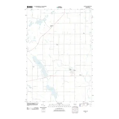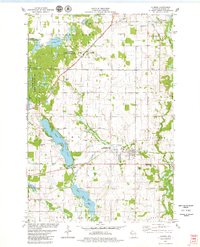
1978 Map of Almena
USGS Topo · Published 1979About this map
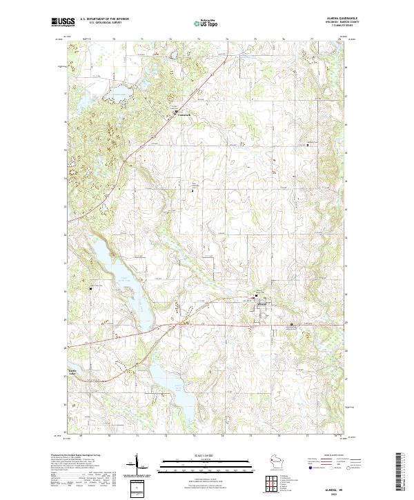
Glacial lakes and creek bottoms dominate this Barron County landscape, where the Upper Turtle Lake and Lower Turtle Lake chain forms a central corridor of water and marshland. The settlement of Almena serves as a local hub, situated near the intersection of the Chicago and Northwestern rail line and Lightning Creek. This period in the late 1970s shows a region deeply committed to conservation, evidenced by the expansive Loon Lake State Wildlife Area and the Lightning Creek State Wildlife Area. For genealogists, the map is particularly useful for locating small country burial sites and congregations, such as Bethany Cem, St Matthew Cem, and the Zion Ch and its accompanying Zion Ch Cem. To the north, the small community of Comstock sits along the tracks, surrounded by numerous gravel pits that hint at the area's geological and industrial activity.
Find a feature on this map
28 named features on this map. Tap any name to fly to it.
Don’t see what you’re looking for? This feature index may not catch every label — zoom into the map to look around manually.
Map Details
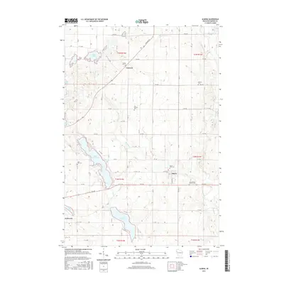
Editions of this 1978 Almena Map
This is the sole edition of this map. No revisions or reprints were ever made.
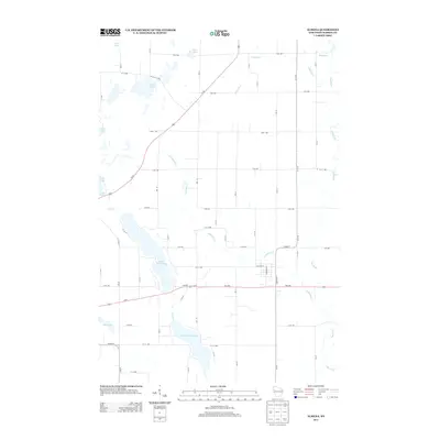
Historical Maps of Turtle Lake Through Time
6 maps found