2023 Map of Altamont
USGS Topo · Published 2023About this map
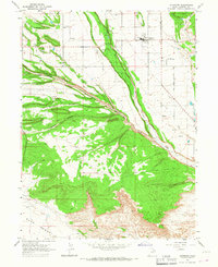
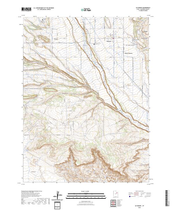
The community of Altamont serves as the central hub of this Duchesne County landscape, which is defined by a dense network of irrigation systems and agricultural tracts. Water management is central to the area's layout, seen in the paths of the Lake Fork River and the complex of channels including the United States Lake Fork Canal, South Boneta Canal, and Lateral Number 1. These waterways support the small settlements of Boneta, Mount Emmons, and Bluebell, reflecting the early 20th-century expansion of ranching in the Uinta Basin.
Find a feature on this map
42 named features on this map. Tap any name to fly to it.
Don’t see what you’re looking for? This feature index may not catch every label — zoom into the map to look around manually.
Map Details
Editions of this 2023 Altamont Map
This is the sole edition of this map. No revisions or reprints were ever made.