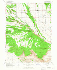
1965 Map of Altamont
USGS Topo · Published 1967About this map
Altamont and the nearby communities of Mt Emmons and Boneta anchor this mid-1960s survey of Duchesne County, Utah. The landscape is defined by an intricate network of irrigation infrastructure, including the Lake Fork Canal, Boneta Canal, and Western Canal, which draw from the Lake Fork River to support high-desert agriculture. The rugged topography is etched with deep drainage features such as Pigeon Water Creek, Kuntz Hollow, and Clement Hollow, which converge toward the river valley. To the south, the terrain rises to the Blue Bench, accessible via a network of secondary roads and a Jeep Trail. Local landmarks like the High Sch, Water Tank, and a rural Cem reflect the social fabric of these small settlements during a period when gravel extraction at numerous Gravel Pits supported regional infrastructure development.
Find a feature on this map
21 named features on this map. Tap any name to fly to it.
Don’t see what you’re looking for? This feature index may not catch every label — zoom into the map to look around manually.
Map Details
Editions of this 1965 Altamont Map
This is the sole edition of this map. No revisions or reprints were ever made.
Other maps of this area

1885 · Uinta
USGS Topo · 1:250,000

1939 · Duchesne
USGS Topo · 1:125,000

1954 · Salt Lake City
USGS Topo · 1:250,000

1958 · Salt Lake City
USGS Topo · 1:250,000

1960 · Salt Lake City
USGS Topo · 1:250,000
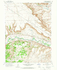
1964 · Duchesne NE
USGS Topo · 1:24,000
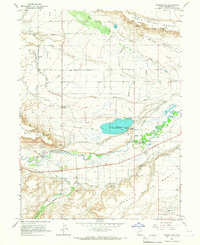
1964 · Bridgeland
USGS Topo · 1:24,000
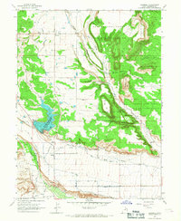
1965 · Bluebell
USGS Topo · 1:24,000
1965 · Mountain Home
USGS Topo · 1:24,000
1965 · Talmage
USGS Topo · 1:24,000