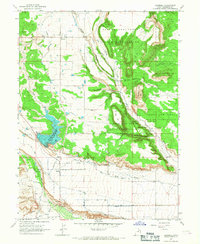
1965 Map of Bluebell
USGS Topo · Published 1967About this map
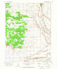
Uintah and Ouray Indian Reservation lands dominate the eastern and central portion of this 1960s landscape, where the high desert terrain is carved by distinctive landmarks like Butcher Knife and Flat Top. The agricultural development of Duchesne County is clearly visible through an intricate network of irrigation systems, including the Spring Canal, Lake Fork Canal, and several laterals feeding the fields around the settlements of Bluebell and Upalco.
Find a feature on this map
28 named features on this map. Tap any name to fly to it.
Don’t see what you’re looking for? This feature index may not catch every label — zoom into the map to look around manually.
Map Details
Editions of this 1965 Bluebell Map
This is the sole edition of this map. No revisions or reprints were ever made.
Other maps of this area

1885 · Uinta
USGS Topo · 1:250,000
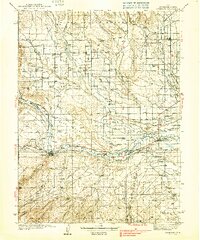
1939 · Duchesne
USGS Topo · 1:125,000

1954 · Salt Lake City
USGS Topo · 1:250,000

1958 · Salt Lake City
USGS Topo · 1:250,000

1960 · Salt Lake City
USGS Topo · 1:250,000

1964 · Duchesne NE
USGS Topo · 1:24,000
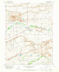
1964 · Myton
USGS Topo · 1:24,000

1964 · Bridgeland
USGS Topo · 1:24,000
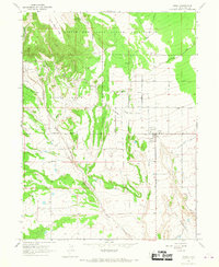
1965 · Neola
USGS Topo · 1:24,000
1965 · Hancock Cove
USGS Topo · 1:24,000