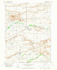
1964 Map of Myton
USGS Topo · Published 1967About this map
The Duchesne River and the Lake Fork River converge just west of Myton, establishing the vital water supply for this arid reach of Duchesne County. The landscape is defined by an intricate network of irrigation systems, including the North Lateral Canal, South Lateral Canal, and Dry Gulch Canal, which transport water across the expansive Myton Bench. These canals illustrate the intensive engineering required to sustain agriculture and settlement in the Uinta Basin during the mid-1960s.
Find a feature on this map
32 named features on this map. Tap any name to fly to it.
Don’t see what you’re looking for? This feature index may not catch every label — zoom into the map to look around manually.
Map Details
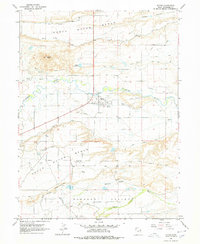
Editions of this 1964 Myton Map
2 editions found
Other maps of this area

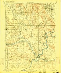
1885 · Ashley
USGS Topo · 1:250,000

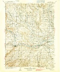
1885 · Uinta
USGS Topo · 1:250,000
1917 · Vernal
USGS Topo · 1:125,000
1939 · Duchesne
USGS Topo · 1:125,000

1954 · Salt Lake City
USGS Topo · 1:250,000

1954 · Vernal
USGS Topo · 1:250,000

1958 · Vernal
USGS Topo · 1:250,000

1958 · Salt Lake City
USGS Topo · 1:250,000

1960 · Salt Lake City
USGS Topo · 1:250,000

1960 · Vernal
USGS Topo · 1:250,000