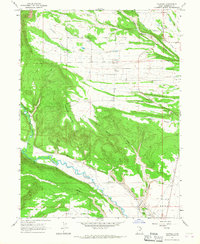
1965 Map of Talmage
USGS Topo · Published 1967About this map
The Duchesne River and its tributary Rock Creek dominate this mid-century portrait of northeastern Utah, where the arid landscape is shaped by an intricate network of irrigation systems. Settlements like Talmage and Utahn are anchored near these water sources, supported by engineering works such as the Pioneer Canal, Knight Ditch, and Farnsworth Canal. The topography transitions from the high elevations of Steamboat Mountain down to the broad flatlands of West Bench and Blue Bench, illustrating the heavy reliance on seasonal runoff to sustain agriculture in Duchesne County.
Find a feature on this map
33 named features on this map. Tap any name to fly to it.
Don’t see what you’re looking for? This feature index may not catch every label — zoom into the map to look around manually.
Map Details
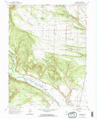
Editions of this 1965 Talmage Map
2 editions found
Other maps of this area

1885 · Uinta
USGS Topo · 1:250,000

1939 · Duchesne
USGS Topo · 1:125,000

1954 · Salt Lake City
USGS Topo · 1:250,000

1958 · Salt Lake City
USGS Topo · 1:250,000

1960 · Salt Lake City
USGS Topo · 1:250,000

1962 · Blacktail Mtn
USGS Topo · 1:24,000

1962 · Rabbit Gulch
USGS Topo · 1:24,000

1962 · Dry Mountain
USGS Topo · 1:24,000
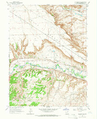
1964 · Duchesne NE
USGS Topo · 1:24,000
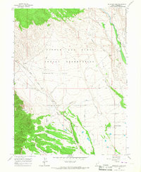
1965 · Mountain Home
USGS Topo · 1:24,000