
1962 Map of Dry Mountain
USGS Topo · Published 1964About this map
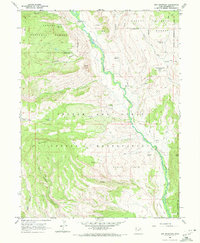
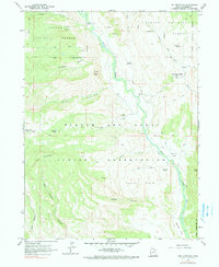
Ashley National Forest and the Uintah and Ouray Indian Reservation converge across this landscape, defined by high-altitude drainages and significant topographic relief. The Rock Creek corridor serves as a central artery, winding through the heart of the quadrangle and past the Indian Ranger Sta. The mapping reveals a remote region managed for forest and tribal resources, with several high-elevation basins such as Lower Basin and McAfee Basin providing natural landmarks for navigation.
Find a feature on this map
30 named features on this map. Tap any name to fly to it.
Don’t see what you’re looking for? This feature index may not catch every label — zoom into the map to look around manually.
Map Details
Editions of this 1962 Dry Mountain Map
3 editions found
Other maps of this area

1885 · Uinta
USGS Topo · 1:250,000

1901 · Hayden Peak
USGS Topo · 1:125,000

1903 · Hayden Peak
USGS Topo · 1:125,000

1905 · Gilbert Peak
USGS Topo · 1:125,000

1906 · Gilbert Peak
USGS Topo · 1:125,000

1939 · Duchesne
USGS Topo · 1:125,000

1954 · Salt Lake City
USGS Topo · 1:250,000

1958 · Salt Lake City
USGS Topo · 1:250,000

1960 · Salt Lake City
USGS Topo · 1:250,000

1962 · Blacktail Mtn
USGS Topo · 1:24,000