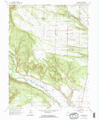
1965 Map of Talmage
USGS Topo · Published 1967About this map
The settlement of Talmage sits in the high desert landscape of Duchesne County, centered amidst a complex system of agricultural irrigation. Vital water management is evidenced by the Farnsworth Canal, Pioneer Canal, and Knight Ditch, which redirect flows from the prominent Duchesne River and Rock Creek. This mid-century survey reveals the critical role of these waterways in supporting rural life on the elevated plateaus of Hair Bench and Blue Bench.
Find a feature on this map
26 named features on this map. Tap any name to fly to it.
Don’t see what you’re looking for? This feature index may not catch every label — zoom into the map to look around manually.
Map Details
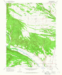
Editions of this 1965 Talmage Map
2 editions found
Other maps of this area

1885 · Uinta
USGS Topo · 1:250,000

1939 · Duchesne
USGS Topo · 1:125,000

1954 · Salt Lake City
USGS Topo · 1:250,000

1958 · Salt Lake City
USGS Topo · 1:250,000

1960 · Salt Lake City
USGS Topo · 1:250,000

1962 · Blacktail Mtn
USGS Topo · 1:24,000

1962 · Rabbit Gulch
USGS Topo · 1:24,000

1962 · Dry Mountain
USGS Topo · 1:24,000
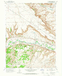
1964 · Duchesne NE
USGS Topo · 1:24,000
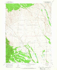
1965 · Mountain Home
USGS Topo · 1:24,000