2022 Map of Altoona
USGS Topo · Published 2022About this map
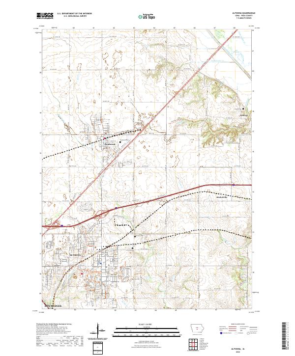
Altoona and its surrounding Polk County landscape are defined by a mix of rapid suburban expansion and traditional agricultural drainage patterns. The northeast corner of the map features the South Skunk River and a notable Old Channel, where natural waterways have been supplemented by a network of engineered ditches including Ditch Number 38 and Ditch Number 24. This transition from the river valley to the upland prairies is marked by the small settlements of Bondurant and Santiago, while modern recreational corridors like the Chichaqua Valley Trl and the Gay Lea Wilson Trl follow former rail lines or creek beds. Genealogists will find the locations of established burial grounds such as Bondurant Cem and Franklin Cem essential for tracing local family histories in this part of the Des Moines metropolitan fringe.
Find a feature on this map
86 named features on this map. Tap any name to fly to it.
Don’t see what you’re looking for? This feature index may not catch every label — zoom into the map to look around manually.
Map Details
Editions of this 2022 Altoona Map
This is the sole edition of this map. No revisions or reprints were ever made.
