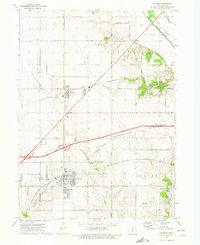
1972 Map of Altoona
USGS Topo · Published 1974About this map
Altoona and Bondurant anchor this Central Iowa landscape during a period of expanding transportation and utility infrastructure in the early 1970s. The region is defined by a rigorous grid of section-line roads, including 979 Avenue and NE 100th Ave, which connect agricultural land to growing hubs. Significant rail corridors of the Chicago and North Western and the Chicago Rock Island and Pacific intersect the terrain, illustrating the importance of these lines to the local economy.
Find a feature on this map
43 named features on this map. Tap any name to fly to it.
Don’t see what you’re looking for? This feature index may not catch every label — zoom into the map to look around manually.
Map Details
Editions of this 1972 Altoona Map
2 editions found
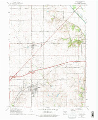
Other maps of this area

1905 · Des Moines
USGS Topo · 1:62,500

1907 · Des Moines
USGS Topo · 1:62,500

1911 · Slater
USGS Topo · 1:62,500

1913 · Slater
USGS Topo · 1:62,500

1930 · Mitchellville
USGS Topo · 1:62,500

1954 · Des Moines
USGS Topo · 1:250,000

1956 · Des Moines
USGS Topo · 1:250,000

1956 · Des Moines SE
USGS Topo · 1:24,000

1956 · Des Moines NE
USGS Topo · 1:24,000

1956 · Des Moines
USGS Topo · 1:62,500