
1956 Map of Des Moines NE
USGS Topo · Published 1958About this map
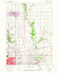
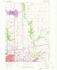
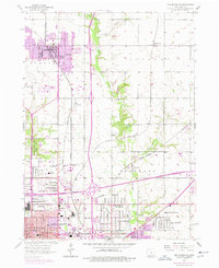
Ankeny stands at the northern edge of this mid-century survey, situated within a dense network of competing rail lines that defined the Des Moines periphery. The landscape is marked by the industrial and transport infrastructure of the 1950s, featuring the Chicago and North Western and Fort Dodge Des Moines and Southern railroads. Smaller unincorporated settlements like Oralabor and Marquisville are visible alongside the developing outskirts of Des Moines to the south.
Find a feature on this map
45 named features on this map. Tap any name to fly to it.
Don’t see what you’re looking for? This feature index may not catch every label — zoom into the map to look around manually.
Map Details
Editions of this 1956 Des Moines NE Map
4 editions found
Other maps of this area

1905 · Des Moines
USGS Topo · 1:62,500

1907 · Des Moines
USGS Topo · 1:62,500

1911 · Slater
USGS Topo · 1:62,500

1913 · Slater
USGS Topo · 1:62,500

1930 · Mitchellville
USGS Topo · 1:62,500

1954 · Des Moines
USGS Topo · 1:250,000

1956 · Des Moines
USGS Topo · 1:250,000

1956 · Des Moines NW
USGS Topo · 1:24,000

1956 · Des Moines SW
USGS Topo · 1:24,000

1956 · Des Moines SE
USGS Topo · 1:24,000