Loading...
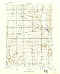
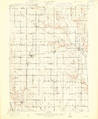
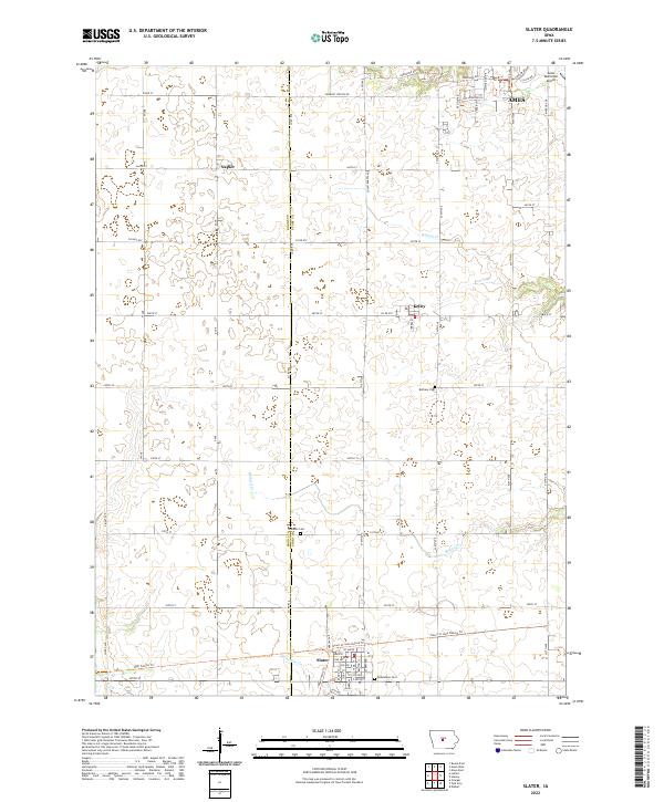
Loading map...1911 Map of Slater
USGS Topo · Published 1960About this map
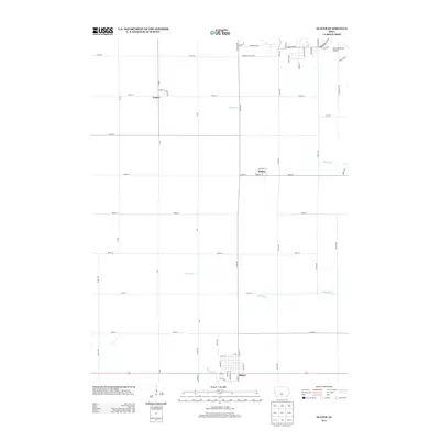
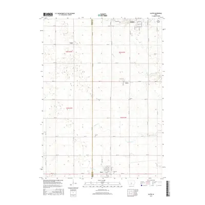
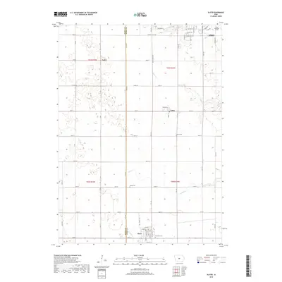
The agricultural plains of central Iowa, where the borders of Boone, Story, and Polk counties meet, are defined here by a dense grid of rural schoolhouses and the expansion of the regional rail network. Early twentieth-century life centered on small, decentralized education, with dozens of local schools such as Eureka School, Nip-and-tuck School, and Fieldberg School spaced at regular intervals across the townships of Palestine and Garden.
Find a feature on this map
79 named features on this map. Tap any name to fly to it.
Don’t see what you’re looking for? This feature index may not catch every label — zoom into the map to look around manually.
Map Details
Date Portrayed1911
Date Published1960
PublisherU.S. Geological Survey
Map TypeTopographic
Scale1:62,500
Physical Dimensions17.1 x 20.9 inches
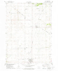
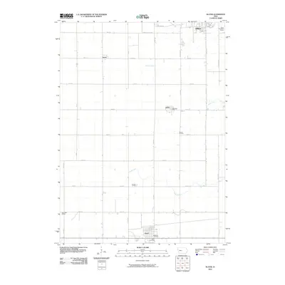
Editions of this 1911 Slater Map
This is the sole edition of this map. No revisions or reprints were ever made.
Historical Maps of Ankeny Through Time
8 maps found
Featured Locations
Source Details
SourceU.S. Geological Survey
CopyrightPublic Domain