
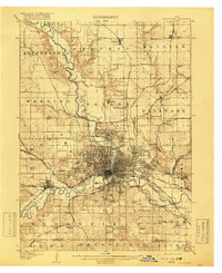
1907 Map of Des Moines
USGS Topo · Published 1907About this map
Des Moines sits at the confluence of the Des Moines River and Raccoon River, serving as a massive railroad hub in the early 1900s. The city's growth is marked by established neighborhoods like Highland Park and Easton Place, while the outlying areas are defined by a dense network of country schools such as Red Brick School, McDivitt Grove School, and Prairie Green School.
Find a feature on this map
83 named features on this map. Tap any name to fly to it.
Don’t see what you’re looking for? This feature index may not catch every label — zoom into the map to look around manually.
Map Details
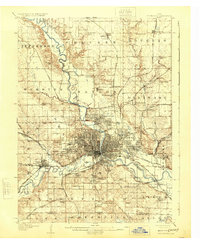
Editions of this 1907 Des Moines Map
3 editions found
Other maps of this area

1905 · Des Moines
USGS Topo · 1:62,500

1908 · Waukee
USGS Topo · 1:62,500

1910 · Milo
USGS Topo · 1:62,500

1911 · Madrid
USGS Topo · 1:62,500

1911 · Slater
USGS Topo · 1:62,500

1913 · Slater
USGS Topo · 1:62,500

1914 · Madrid
USGS Topo · 1:62,500

1930 · Mitchellville
USGS Topo · 1:62,500

1931 · Indianola
USGS Topo · 1:62,500

1951 · St. Charles
USGS Topo · 1:62,500