
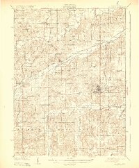
1931 Map of Indianola
USGS Topo · Published 1931About this map
Indianola serves as the focal point of this 1928 survey, situated at the confluence of several major rail lines including the Chicago Rock Island and Pacific RR. The landscape is defined by the parallel courses of the North River, Middle River, and South River, which create a complex drainage pattern across central Iowa. Evidence of early industry and public infrastructure is visible at the Orillia Mine and the County Farm.
Find a feature on this map
71 named features on this map. Tap any name to fly to it.
Don’t see what you’re looking for? This feature index may not catch every label — zoom into the map to look around manually.
Map Details
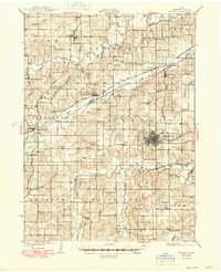
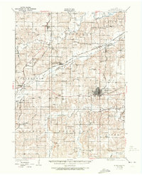
Editions of this 1931 Indianola Map
4 editions found
Other maps of this area

1905 · Des Moines
USGS Topo · 1:62,500

1907 · Des Moines
USGS Topo · 1:62,500

1908 · Waukee
USGS Topo · 1:62,500

1910 · Milo
USGS Topo · 1:62,500

1918 · Chariton
USGS Topo · 1:62,500

1930 · Mitchellville
USGS Topo · 1:62,500

1950 · New Virginia
USGS Topo · 1:62,500

1951 · Osceola
USGS Topo · 1:62,500

1951 · St. Charles
USGS Topo · 1:62,500

1952 · New Virginia
USGS Topo · 1:62,500