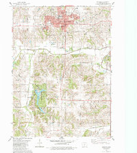
1931 Map of Indianola
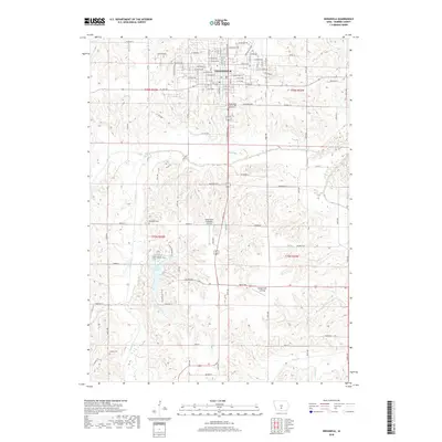
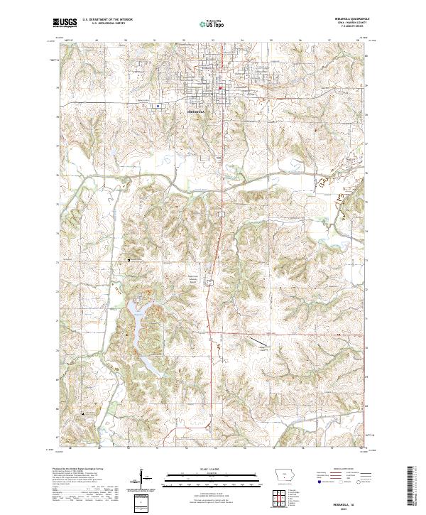
USGS Topo · Published 1949About this map
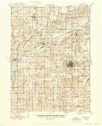
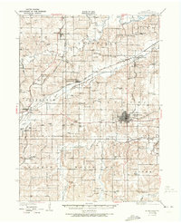
Indianola serves as the focal point of this Warren County survey, surrounded by a dense network of rural schoolhouses and country churches that characterized the Iowa landscape in the late 1920s. The topography is defined by the winding paths of the Middle River, North River, and South River, which cut through the townships of Linn, Greenfield, and Otter. This era captures a transition in transportation, showing the prominence of three major railroads: the Chicago Great Western, the Chicago Burlington and Quincy, and the Chicago Rock Island and Pacific. These lines connected small depots and junctions like Summerset Junction and Prole to the wider region. Industrial and social landmarks are visible in the periphery, from the Orillia Mine in the northwest to the County Farm south of Indianola, alongside dozens of family-named schools such as Smedley Sch and Scotch Ridge Sch.
Find a feature on this map
78 named features on this map. Tap any name to fly to it.
Don’t see what you’re looking for? This feature index may not catch every label — zoom into the map to look around manually.
Map Details
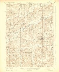
Editions of this 1931 Indianola Map
4 editions found

Historical Maps of Des Moines Through Time
8 maps found