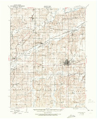
1931 Map of Indianola
USGS Topo · Published 1973About this map
Indianola serves as the regional hub for Warren County in this late 1920s survey, showing a dense grid of town lots at the crossroads of several rail lines. The landscape is defined by the winding paths of the Middle River and North River, where small settlements like Norwalk and Martensdale are situated among a high density of rural schoolhouses, including the Scotch Ridge Sch and Maple Grove Sch. These schools, spaced almost every two miles, reflect the intensely settled nature of the Iowa prairie during this era.
Find a feature on this map
71 named features on this map. Tap any name to fly to it.
Don’t see what you’re looking for? This feature index may not catch every label — zoom into the map to look around manually.
Map Details
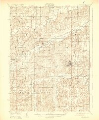
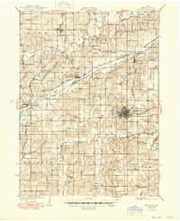
Editions of this 1931 Indianola Map
4 editions found
Other maps of this area

1905 · Des Moines
USGS Topo · 1:62,500

1907 · Des Moines
USGS Topo · 1:62,500

1908 · Waukee
USGS Topo · 1:62,500

1910 · Milo
USGS Topo · 1:62,500

1918 · Chariton
USGS Topo · 1:62,500

1930 · Mitchellville
USGS Topo · 1:62,500

1931 · Indianola
USGS Topo · 1:62,500

1950 · New Virginia
USGS Topo · 1:62,500

1951 · Osceola
USGS Topo · 1:62,500

1951 · St. Charles
USGS Topo · 1:62,500