
1918 Map of Chariton
USGS Topo · Published 1918About this map
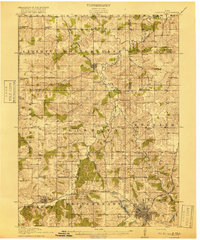
Chariton serves as the regional hub at the southern edge of this landscape, where the Chicago Burlington and Quincy railroad establishes a vital transportation spine through Lucas County. This 1915 survey reveals a rural society structured around the one-room schoolhouse system, with dozens of family-named and numbered institutions like the Horstman School, Cackler School, and South Liberty School spaced at regular intervals for local farm children.
Find a feature on this map
72 named features on this map. Tap any name to fly to it.
Don’t see what you’re looking for? This feature index may not catch every label — zoom into the map to look around manually.
Map Details
Editions of this 1918 Chariton Map
4 editions found
Other maps of this area

1909 · Knoxville
USGS Topo · 1:62,500

1910 · Milo
USGS Topo · 1:62,500

1912 · Knoxville
USGS Topo · 1:62,500

1924 · Melcher
USGS Topo · 1:62,500

1931 · Indianola
USGS Topo · 1:62,500

1934 · Humeston
USGS Topo · 1:48,000

1935 · Russell
USGS Topo · 1:62,500

1937 · Corydon
USGS Topo · 1:62,500

1938 · Russell
USGS Topo · 1:62,500

1950 · New Virginia
USGS Topo · 1:62,500