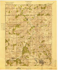
1918 Map of Chariton
USGS Topo · Published 1918About this map
Chariton serves as the regional anchor on this 1915 survey, where the town's street grid is clearly defined near the banks of the Chariton River and the shores of Crystal Lake. The landscape is a study in early twentieth-century rural organization, dominated by a dense network of numbered and family-named schoolhouses such as Horstman School, Dallas Center School, and Mumford School. This educational infrastructure reflects the high population density of small-plot farming common in southern Iowa before the consolidation of the mid-1900s.
Find a feature on this map
68 named features on this map. Tap any name to fly to it.
Don’t see what you’re looking for? This feature index may not catch every label — zoom into the map to look around manually.
Map Details
Editions of this 1918 Chariton Map
4 editions found
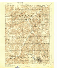
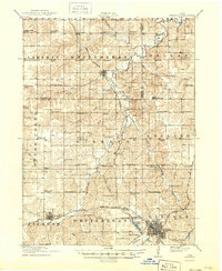
Other maps of this area

1909 · Knoxville
USGS Topo · 1:62,500

1910 · Milo
USGS Topo · 1:62,500

1912 · Knoxville
USGS Topo · 1:62,500

1918 · Chariton
USGS Topo · 1:62,500

1924 · Melcher
USGS Topo · 1:62,500

1931 · Indianola
USGS Topo · 1:62,500

1934 · Humeston
USGS Topo · 1:48,000

1935 · Russell
USGS Topo · 1:62,500

1937 · Corydon
USGS Topo · 1:62,500

1938 · Russell
USGS Topo · 1:62,500