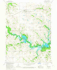
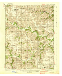
1938 Map of Russell
USGS Topo · Published 1938About this map
Russell and Melrose serve as the primary rail hubs for this southern Iowa landscape during the mid-1930s, situated along the Chicago Burlington and Quincy railroad line. The map reveals an incredible density of rural education, with dozens of named country schools such as Brush College Sch, Rabbit Hill Sch, and Maple Grove Sch spaced almost exactly every two miles to serve the farming families of the era. The terrain is deeply carved by the Chariton River and its many tributaries, including Contrary Creek and Cedar Creek, which dictate the winding paths of local roads.
Find a feature on this map
72 named features on this map. Tap any name to fly to it.
Don’t see what you’re looking for? This feature index may not catch every label — zoom into the map to look around manually.
Map Details
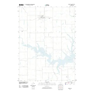
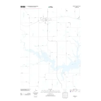
Editions of this 1938 Russell Map
2 editions found
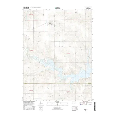
Historical Maps of Russell Through Time
8 maps found