
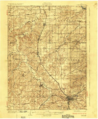
1929 Map of Albia
USGS Topo · Published 1929About this map
The city of Albia serves as a major transportation hub in this late 1920s survey, where the Chicago Burlington and Quincy RR intersects with the Wabash Railway and the Minneapolis and St Louis RR. This rail density reflects the region's industrial backbone, particularly the coal mining operations centered around Hiteman and Lovilia. The landscape is dotted with evidence of extraction, including the Riteman Mine No 10 and the Smoky Hollow Mine, situated amidst a dense network of rural infrastructure.
Find a feature on this map
86 named features on this map. Tap any name to fly to it.
Don’t see what you’re looking for? This feature index may not catch every label — zoom into the map to look around manually.
Map Details
Editions of this 1929 Albia Map
3 editions found
Other maps of this area

1909 · Knoxville
USGS Topo · 1:62,500

1910 · Pella
USGS Topo · 1:62,500

1912 · Knoxville
USGS Topo · 1:62,500

1912 · Pella
USGS Topo · 1:62,500

1924 · Melcher
USGS Topo · 1:62,500

1935 · Russell
USGS Topo · 1:62,500

1938 · Russell
USGS Topo · 1:62,500

1939 · Mystic
USGS Topo · 1:62,500

1942 · Mystic
USGS Topo · 1:62,500

1954 · Centerville
USGS Topo · 1:250,000