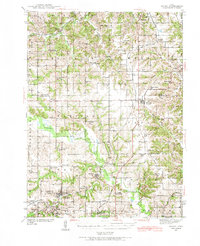
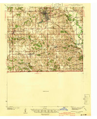
1939 Map of Mystic
USGS Topo · Published 1966About this map
Mystic and Moravia serve as the primary hubs in this late 1930s landscape, where a dense network of country schools and rural churches defines the social geography of Appanoose County. The Chariton River meanders across the center of the sheet, providing a natural dividing line between the northern townships and the southern rail-linked coal towns. The industrial presence is underscored by the Southern Iowa Railway and the Wabash Railroad, which intersect at Moravia, facilitating the movement of local resources. Genealogists will find a wealth of specific landmarks, from family-named cemeteries like Elgin Cem and Haynes Cem to unique local schools such as Buffalo Wallow Sch and Hedge College Sch. The map preserves the exact locations of many rural institutions like Wesley Chapel and Concord Ch before mid-century consolidations changed the rural township structure.
Find a feature on this map
99 named features on this map. Tap any name to fly to it.
Don’t see what you’re looking for? This feature index may not catch every label — zoom into the map to look around manually.
Map Details
Editions of this 1939 Mystic Map
This is the sole edition of this map. No revisions or reprints were ever made.
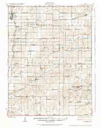
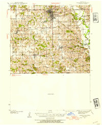
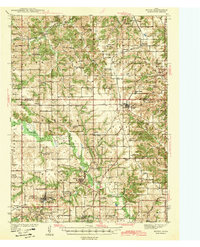
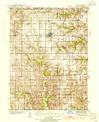
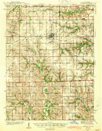
Other maps of this area
1924 · Melcher
USGS Topo · 1:62,500
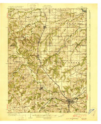
1929 · Albia
USGS Topo · 1:62,500

1935 · Russell
USGS Topo · 1:62,500

1938 · Russell
USGS Topo · 1:62,500
1939 · Centerville
USGS Topo · 1:62,500
1941 · Centerville
USGS Topo · 1:62,500
1942 · Mystic
USGS Topo · 1:62,500
1942 · Seymour
USGS Topo · 1:62,500
1944 · Seymour
USGS Topo · 1:62,500

1954 · Centerville
USGS Topo · 1:250,000