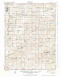
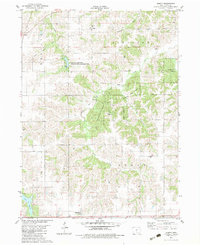
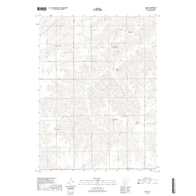
1924 Map of Melcher
USGS Topo · Published 1924About this map
Coal mining and the Chicago Rock Island and Pacific railroad define the landscape of south-central Iowa during this era of industrial expansion. The map details the concentrated settlement patterns around Melcher and Dallas, which served as hubs for the surrounding extractive industries. Notable operations such as Mine No 4 and Mine No 18 indicate the subsurface wealth driving the local economy, while specialized company towns like Tipperary, Bucknell, and Consol highlight the rapid growth of worker housing near the shafts. The rural sections are densely populated with family farms and an extensive network of local schoolhouses, including Brush College School and Coal Glen School, showing a well-established social fabric. Intersecting the terrain are numerous waterways like English Creek and Cedar Creek, which carved the valleys where many of these mining outposts were established.
Find a feature on this map
80 named features on this map. Tap any name to fly to it.
Don’t see what you’re looking for? This feature index may not catch every label — zoom into the map to look around manually.
Map Details
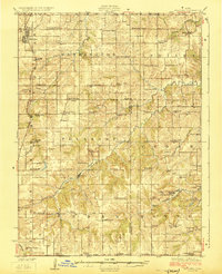
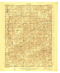
Editions of this 1924 Melcher Map
3 editions found
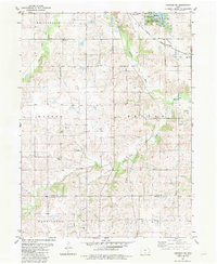
Historical Maps of Melcher-Dallas Through Time
13 maps found
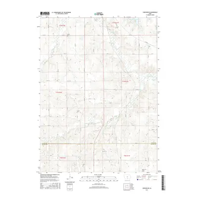
1924 Melcher
Lucas County, IA
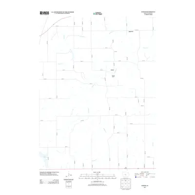
1982 Corydon NE
Lucas County, IA
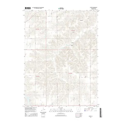
1982 Olmitz
Lucas County, IA
2010 Corydon NE
Lucas County, IA
2010 Olmitz
Lucas County, IA
2013 Corydon NE
Lucas County, IA
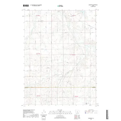
2013 Olmitz
Lucas County, IA
2015 Corydon NE
Lucas County, IA
2015 Olmitz
Lucas County, IA
2018 Corydon NE
Lucas County, IA
2018 Olmitz
Lucas County, IA
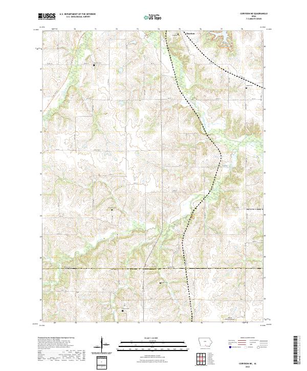
2022 Corydon NE
Lucas County, IA
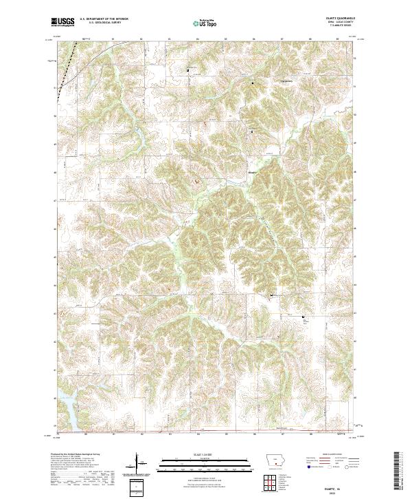
2022 Olmitz
Lucas County, IA