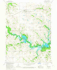
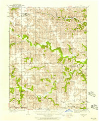
1935 Map of Russell
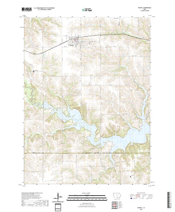
USGS Topo · Published 1958About this map
The Chariton River and its South Fork dominate this mid-1930s landscape, winding through a dense network of townships like Washington, Jackson, and South Fork. The region is defined by a rural economy of small settlements and neighborhood schools, connected by the Chicago Burlington and Quincy railroad lines that serve towns like Russell and Melrose. The map reveals a highly localized social geography, where rural education was anchored by numerous named institutions such as Brush College Sch and Rabbit Hill Sch. Local genealogists will find value in the precise location of the New York Cem and the small hamlet of Confidence, which sits near the junction of several townships. The terrain transition from the river bottoms to the uplands is marked by descriptively named features like Bunker Hill Sch and Sand Ridge Sch, reflecting the agricultural character of southern Iowa during this era.
Find a feature on this map
76 named features on this map. Tap any name to fly to it.
Don’t see what you’re looking for? This feature index may not catch every label — zoom into the map to look around manually.
Map Details
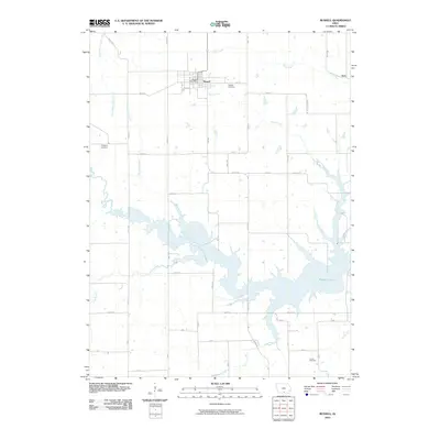
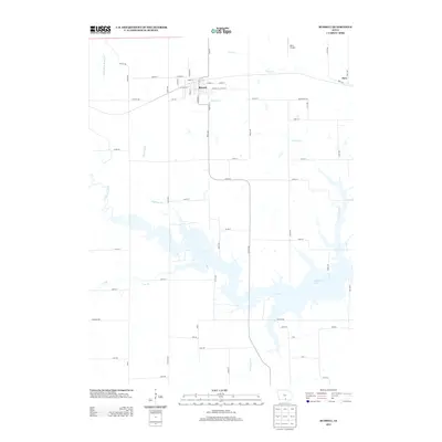
Editions of this 1935 Russell Map
2 editions found
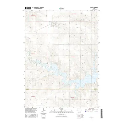
Historical Maps of Russell Through Time
8 maps found