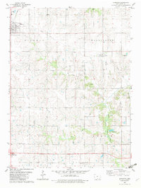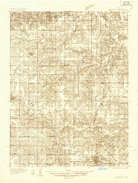
1934 Map of Humeston
USGS Topo · Published 1934About this map
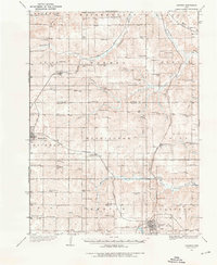
The North Branch Chariton River and South Branch Chariton River carve a winding course through this agricultural landscape, where local life centered around a dense network of country schools and small crossroads. The 1934 survey reveals the rural layout of southern Iowa, anchored by larger settlements like Humeston and Corydon. Public institutions such as the Wayne County Farm reflect the social infrastructure of the era, while the convergence of the Chicago Burlington and Quincy and Chicago Rock Island and Pacific railroads highlights the region's importance as a transportation hub. Dozens of small schoolhouses, including the Brown Jug Sch and White Oak Sch, are scattered across the townships of White Breast, Warren, and Benton, providing a detailed look at the township-based educational system before mid-century consolidation.
Find a feature on this map
69 named features on this map. Tap any name to fly to it.
Don’t see what you’re looking for? This feature index may not catch every label — zoom into the map to look around manually.
Map Details
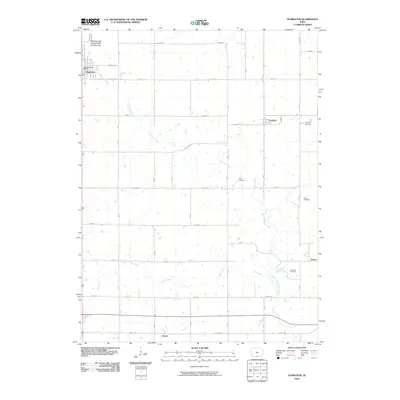
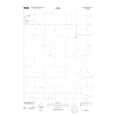
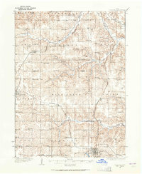
Editions of this 1934 Humeston Map
3 editions found
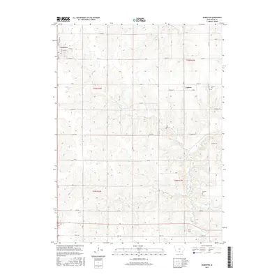
Historical Maps of Chariton Through Time
6 maps found