
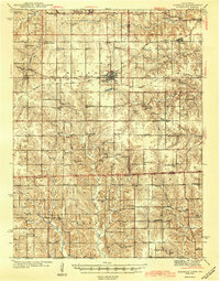
1944 Map of Seymour
USGS Topo · Published 1944About this map
Seymour serves as a significant rail hub in southern Iowa, situated at the intersection of the Chicago Milwaukee St Paul and Pacific and the Chicago Rock Island and Pacific railroads. This junction anchors a landscape densely populated with rural institutions, including a remarkable number of one-room schoolhouses such as Morning Star Sch, Little Flock Sch, and the curiously named Cornfield College Sch. The map illustrates the transition from the farm-rich plateaus of Wayne County into the more dissected stream valleys of the south, where Medicine Creek and Shoal Creek cross the Iowa Missouri state line. Evidence of local industry appears at the Forest Valley Mine, while the spiritual life of the era is preserved through numerous rural landmarks like Bollman Chapel and Simpson Chapel.
Find a feature on this map
62 named features on this map. Tap any name to fly to it.
Don’t see what you’re looking for? This feature index may not catch every label — zoom into the map to look around manually.
Map Details
Editions of this 1944 Seymour Map
2 editions found
Other maps of this area

1912 · Green City
USGS Topo · 1:62,500

1914 · Green City
USGS Topo · 1:62,500

1934 · Humeston
USGS Topo · 1:48,000

1935 · Russell
USGS Topo · 1:62,500

1937 · Corydon
USGS Topo · 1:62,500

1938 · Russell
USGS Topo · 1:62,500

1939 · Centerville
USGS Topo · 1:62,500

1939 · Mystic
USGS Topo · 1:62,500

1941 · Centerville
USGS Topo · 1:62,500

1942 · Mystic
USGS Topo · 1:62,500