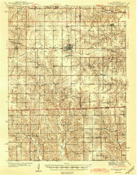
1944 Map of Seymour
USGS Topo · Published 1944About this map
Seymour serves as the central hub of this mid-century landscape, positioned at the intersection of two major rail lines: the Chicago Milwaukee St Paul and Pacific and the Chicago Rock Island and Pacific. The surrounding Wayne and Appanoose county countryside is exceptionally dense with country schoolhouses, reflecting a rural social structure anchored by institutions like Cornfield College Sch, Little Flock Sch, and Morning Star Sch. Just south of the Iowa Missouri state line, the topography becomes more intricate along Brown Creek and Mormon Creek. Local genealogy and community history are preserved through numerous landmarks such as Bollman Chapel, Simpson Chapel, and the Genoa Cem near the small settlement of Genoa. The sheer volume of named schools like August Valley Sch and Kniffin Sch provides a precise record of neighborhood districts as they existed before widespread school consolidation.
Find a feature on this map
63 named features on this map. Tap any name to fly to it.
Don’t see what you’re looking for? This feature index may not catch every label — zoom into the map to look around manually.
Map Details
Editions of this 1944 Seymour Map
2 editions found

Other maps of this area

1912 · Green City
USGS Topo · 1:62,500

1914 · Green City
USGS Topo · 1:62,500

1934 · Humeston
USGS Topo · 1:48,000

1935 · Russell
USGS Topo · 1:62,500

1937 · Corydon
USGS Topo · 1:62,500

1938 · Russell
USGS Topo · 1:62,500

1939 · Centerville
USGS Topo · 1:62,500

1939 · Mystic
USGS Topo · 1:62,500

1941 · Centerville
USGS Topo · 1:62,500

1942 · Mystic
USGS Topo · 1:62,500