
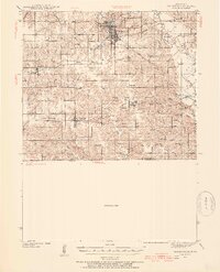
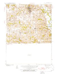
1939 Map of Centerville
USGS Topo · Published 1954About this map
Centerville serves as the regional hub in this pre-war landscape, where a dense network of railroads including the Chicago Rock Island and Pacific and the Chicago Milwaukee St Paul and Pacific converge. The rural character of Appanoose County is exceptionally detailed, showing a high concentration of country schools such as Cornbread College Sch, Silknitter Sch, and Mayflower Sch that once anchored these farming townships.
Find a feature on this map
68 named features on this map. Tap any name to fly to it.
Don’t see what you’re looking for? This feature index may not catch every label — zoom into the map to look around manually.
Map Details
Editions of this 1939 Centerville Map
3 editions found
Other maps of this area

1911 · Queen City
USGS Topo · 1:62,500

1912 · Green City
USGS Topo · 1:62,500

1913 · Queen City
USGS Topo · 1:62,500

1914 · Green City
USGS Topo · 1:62,500

1935 · Russell
USGS Topo · 1:62,500

1938 · Russell
USGS Topo · 1:62,500

1939 · Mystic
USGS Topo · 1:62,500

1941 · Centerville
USGS Topo · 1:62,500

1942 · Mystic
USGS Topo · 1:62,500

1942 · Seymour
USGS Topo · 1:62,500