
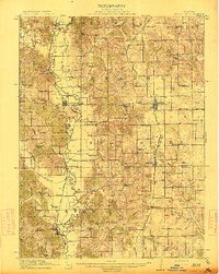
1913 Map of Queen City
USGS Topo · Published 1913About this map
The Chariton River meanders through the western border of this Missouri landscape, defining a network of wetlands and rural townships shortly before the first World War. The region is densely peppered with neighborhood schools, from Independence School in the north to Keller School in the south, reflecting the early 20th-century reliance on local education centers. The towns of Queen City and Green Top serve as primary hubs along the eastern rail line, while smaller settlements like Worthington and Connelsville anchor the river valley. Genealogists will find interest in the numerous family-named landmarks and crossings, such as Slate Ford and Jones Spur, which offer clues into the early transportation patterns of Schuyler and Adair counties. The map also captures several distinct water bodies, including Tan Lake and Scobee Lake, situated amidst the undulating terrain of Elm and Prairie townships.
Find a feature on this map
82 named features on this map. Tap any name to fly to it.
Don’t see what you’re looking for? This feature index may not catch every label — zoom into the map to look around manually.
Map Details
Editions of this 1913 Queen City Map
2 editions found
Other maps of this area

1903 · Edina
USGS Topo · 1:125,000

1911 · Queen City
USGS Topo · 1:62,500

1912 · Green City
USGS Topo · 1:62,500

1914 · Green City
USGS Topo · 1:62,500

1938 · Kirksville
USGS Topo · 1:62,500

1939 · Centerville
USGS Topo · 1:62,500

1940 · Kirksville
USGS Topo · 1:62,500

1941 · Centerville
USGS Topo · 1:62,500

1954 · Centerville
USGS Topo · 1:250,000

1957 · Centerville
USGS Topo · 1:250,000