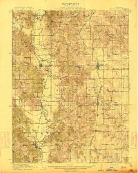
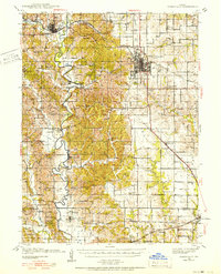
1913 Map of Queen City
USGS Topo · Published 1913About this map
The Chariton River carves a winding path through the western half of this 1913 survey, defining the rural landscape at the border of Putnam and Schuyler counties. Two competing rail lines, the St Louis and Iowa (Wabash) and the Iowa and St Louis, facilitate the transport of livestock and agriculture from the central hub of Queen City and the southern mining settlement of Connelsville.
Find a feature on this map
70 named features on this map. Tap any name to fly to it.
Don’t see what you’re looking for? This feature index may not catch every label — zoom into the map to look around manually.
Map Details
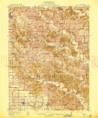
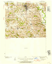
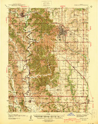
Editions of this 1913 Queen City Map
2 editions found
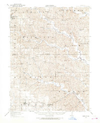
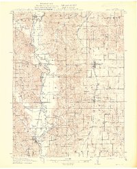
Other maps of this area

1903 · Edina
USGS Topo · 1:125,000

1911 · Queen City
USGS Topo · 1:62,500
1912 · Green City
USGS Topo · 1:62,500
1913 · Queen City
USGS Topo · 1:62,500
1914 · Green City
USGS Topo · 1:62,500
1938 · Kirksville
USGS Topo · 1:62,500
1939 · Centerville
USGS Topo · 1:62,500
1940 · Kirksville
USGS Topo · 1:62,500
1941 · Centerville
USGS Topo · 1:62,500

1954 · Centerville
USGS Topo · 1:250,000