
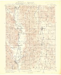
1911 Map of Queen City
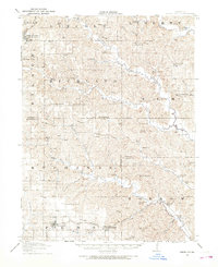
USGS Topo · Published 1971About this map
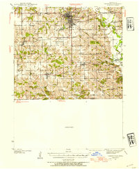
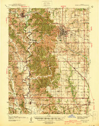
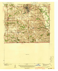
Queen City serves as a central hub for this northeast Missouri landscape, situated at the intersection of the Wabash RR and the Des Moines and Kansas City RR. The geography is defined by a dense network of early 20th-century rural infrastructure, with a schoolhouse located nearly every few miles to serve the surrounding farmsteads. To the west, the Chariton River meanders through the terrain near Worthington, while the Iowa and St Louis RR cuts through the southwest corner, connecting the settlement of Connelsville to the wider region.
Find a feature on this map
77 named features on this map. Tap any name to fly to it.
Don’t see what you’re looking for? This feature index may not catch every label — zoom into the map to look around manually.
Map Details
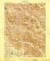
Editions of this 1911 Queen City Map
This is the sole edition of this map. No revisions or reprints were ever made.
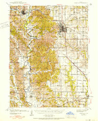
Other maps of this area

1903 · Edina
USGS Topo · 1:125,000
1912 · Green City
USGS Topo · 1:62,500
1913 · Queen City
USGS Topo · 1:62,500
1914 · Green City
USGS Topo · 1:62,500
1938 · Kirksville
USGS Topo · 1:62,500
1939 · Centerville
USGS Topo · 1:62,500
1940 · Kirksville
USGS Topo · 1:62,500
1941 · Centerville
USGS Topo · 1:62,500

1954 · Centerville
USGS Topo · 1:250,000

1957 · Centerville
USGS Topo · 1:250,000