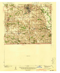
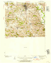
1941 Map of Centerville
USGS Topo · Published 1941About this map
Centerville serves as the bustling hub of this southern Iowa landscape, situated at the intersection of major rail lines and road networks just before the mid-century. A dense concentration of rural one-room schoolhouses, such as Cornbread College Sch, Wyatt Sch, and Daily Sch, illustrates the distributed nature of early twentieth-century education in Appanoose County. The terrain is defined by the winding course of the Chariton River, which carves through the eastern portion of the quadrangle near Sharon Bluffs State Park.
Find a feature on this map
54 named features on this map. Tap any name to fly to it.
Don’t see what you’re looking for? This feature index may not catch every label — zoom into the map to look around manually.
Map Details
Editions of this 1941 Centerville Map
This is the sole edition of this map. No revisions or reprints were ever made.
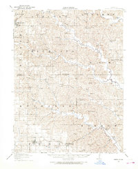
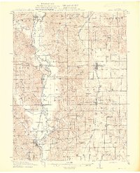
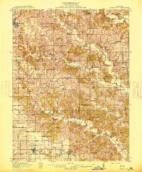
Other maps of this area

1911 · Queen City
USGS Topo · 1:62,500
1912 · Green City
USGS Topo · 1:62,500
1913 · Queen City
USGS Topo · 1:62,500
1914 · Green City
USGS Topo · 1:62,500

1935 · Russell
USGS Topo · 1:62,500

1938 · Russell
USGS Topo · 1:62,500
1939 · Centerville
USGS Topo · 1:62,500
1939 · Mystic
USGS Topo · 1:62,500
1942 · Mystic
USGS Topo · 1:62,500
1942 · Seymour
USGS Topo · 1:62,500