Loading...
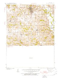
Loading map...1939 Map of Centerville
USGS Topo · Published 1954About this map
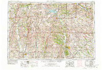
Centerville serves as the focal point of this pre-war Iowa landscape, where a dense network of railroads like the Chicago Rock Island and Pacific and Iowa Southern Utilities converge. The surrounding countryside in Appanoose County is remarkably well-documented with rural institutions, including dozens of local schoolhouses such as the uniquely named Cornbread College Sch and Silknitter Sch.
Find a feature on this map
65 named features on this map. Tap any name to fly to it.
Don’t see what you’re looking for? This feature index may not catch every label — zoom into the map to look around manually.
Map Details
Date Portrayed1939
Date Published1954
PublisherU.S. Geological Survey
Map TypeTopographic
Scale1:62,500
Physical Dimensions16.77 x 21.67 inches
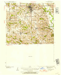
Editions of this 1939 Centerville Map
3 editions found
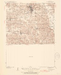
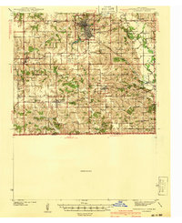
Historical Maps of Centerville Through Time
6 maps found


Featured Locations
Source Details
SourceU.S. Geological Survey
CopyrightPublic Domain