Loading...
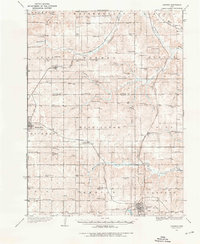
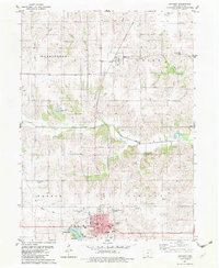
Loading map...1934 Map of Corydon
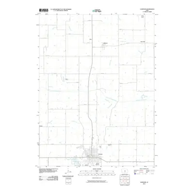
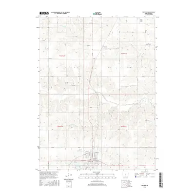
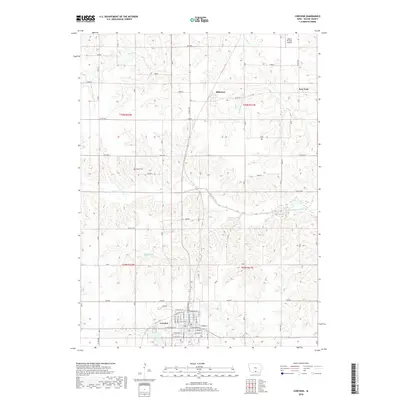
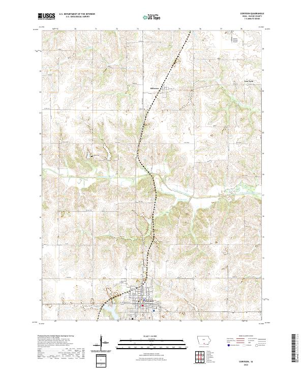
USGS Topo · Published 1976About this map
Corydon serves as a primary hub in this mid-1930s landscape, where two major rail lines, the Chicago Burlington and Quincy and the Chicago Rock Island and Pacific, intersect to define the local economy. The terrain is deeply carved by the Chariton River and its various tributaries like Ninemile Creek and Wolf Creek, creating a network of ridges where small communities and social centers took root.
Find a feature on this map
71 named features on this map. Tap any name to fly to it.
Don’t see what you’re looking for? This feature index may not catch every label — zoom into the map to look around manually.
Map Details
Date Portrayed1934
Date Published1976
PublisherU.S. Geological Survey
Map TypeTopographic
Scale1:62,500
Physical Dimensions17.1 x 20.9 inches
Editions of this 1934 Corydon Map
3 editions found
Historical Maps of Chariton Through Time
8 maps found

Featured Locations
Source Details
SourceU.S. Geological Survey
CopyrightPublic Domain