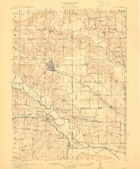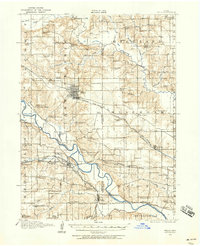
1910 Map of Pella
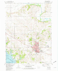
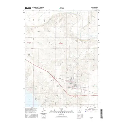
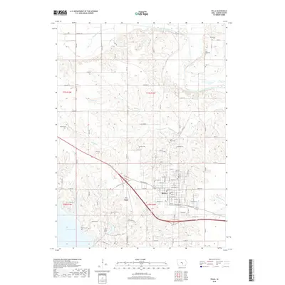
USGS Topo · Published 1958About this map
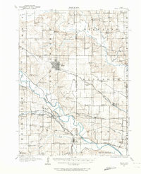
The town of Pella anchors this central Iowa landscape during a period of dense rural settlement and expanding rail networks. The area between the Skunk River to the north and the Des Moines River to the south is defined by a grid of small school districts, such as Bunker Hill School and Wheat Grow School, reflecting the era's localized educational structure. Transportation is dominated by the Chicago Rock Island and Pacific and the Wabash RR, which connected industrial hubs to river towns like Harvey and Tracy. The map documents a complex hydraulic landscape where Thunder Creek and Muchakinock Creek carve through the terrain. Researchers will find numerous rural institutions, including Bethel Church and Asbury Church, providing a precise record of community centers before modern consolidation changed the rural social fabric.
Find a feature on this map
90 named features on this map. Tap any name to fly to it.
Don’t see what you’re looking for? This feature index may not catch every label — zoom into the map to look around manually.
Map Details
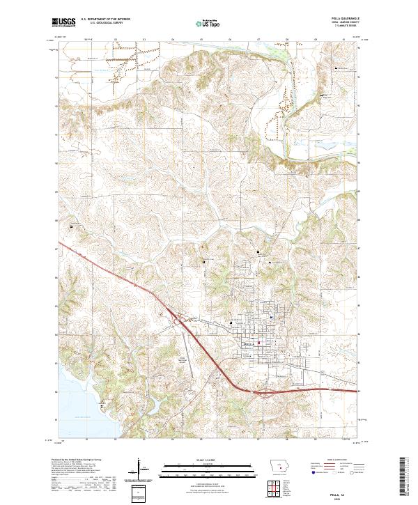
Editions of this 1910 Pella Map
2 editions found
Historical Maps of Pella Through Time
8 maps found