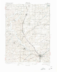
1929 Map of Albia
USGS Topo · Published 1977About this map
The Monroe County coalfields and the central hub of Albia dominate this 1920s landscape, reflecting an era when southern Iowa was a powerhouse of rail-dependent industry. The map captures the complex social and economic infrastructure of the mining district, featuring company towns like Buxton and Hiteman, which were significant centers of African American and immigrant labor during the early twentieth century. These settlements are linked by a dense network of transit, including the Albia and Centerville Electric Ry and the Chicago Burlington and Quincy RR.
Find a feature on this map
94 named features on this map. Tap any name to fly to it.
Don’t see what you’re looking for? This feature index may not catch every label — zoom into the map to look around manually.
Map Details
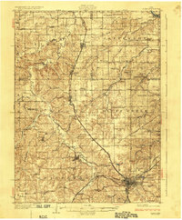
Editions of this 1929 Albia Map
3 editions found
Other maps of this area

1909 · Knoxville
USGS Topo · 1:62,500

1910 · Pella
USGS Topo · 1:62,500

1912 · Knoxville
USGS Topo · 1:62,500

1912 · Pella
USGS Topo · 1:62,500

1924 · Melcher
USGS Topo · 1:62,500

1929 · Albia
USGS Topo · 1:62,500

1935 · Russell
USGS Topo · 1:62,500

1938 · Russell
USGS Topo · 1:62,500

1939 · Mystic
USGS Topo · 1:62,500

1942 · Mystic
USGS Topo · 1:62,500