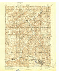
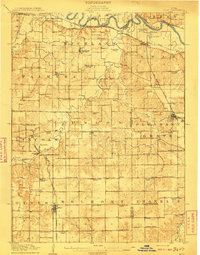
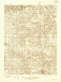
1918 Map of Chariton
USGS Topo · Published 1944About this map
Chariton serves as the focal point of this rural Iowa landscape during the First World War era, where the Chicago Burlington and Quincy railroad intersects at Indianola Junction. The region is defined by a dense network of numbered and family-named schoolhouses, such as the Horstman School and Mt Olive School, reflecting the township-based education system of the early 20th century. While the larger settlement of Lacona sits near the northern boundary, smaller hamlets like Newbern, Bauer, and Oakley punctuate the ridges between the winding paths of Whitebreast Creek and Otter Creek. The map documents the intricate drainage of the Chariton River valley before modern land-use changes, capturing a moment when local life was organized around the proximity of rural schools and the essential rail connections that linked these agricultural communities to the wider Midwest.
Find a feature on this map
71 named features on this map. Tap any name to fly to it.
Don’t see what you’re looking for? This feature index may not catch every label — zoom into the map to look around manually.
Map Details
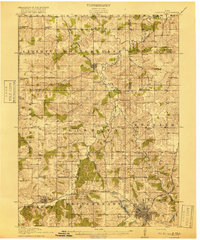
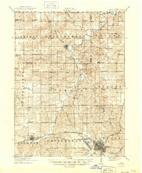
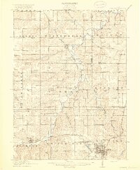
Editions of this 1918 Chariton Map
4 editions found
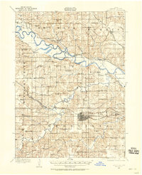
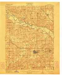
Other maps of this area
1909 · Knoxville
USGS Topo · 1:62,500
1910 · Milo
USGS Topo · 1:62,500
1912 · Knoxville
USGS Topo · 1:62,500
1918 · Chariton
USGS Topo · 1:62,500
1924 · Melcher
USGS Topo · 1:62,500

1931 · Indianola
USGS Topo · 1:62,500
1934 · Humeston
USGS Topo · 1:48,000

1935 · Russell
USGS Topo · 1:62,500
1937 · Corydon
USGS Topo · 1:62,500

1938 · Russell
USGS Topo · 1:62,500